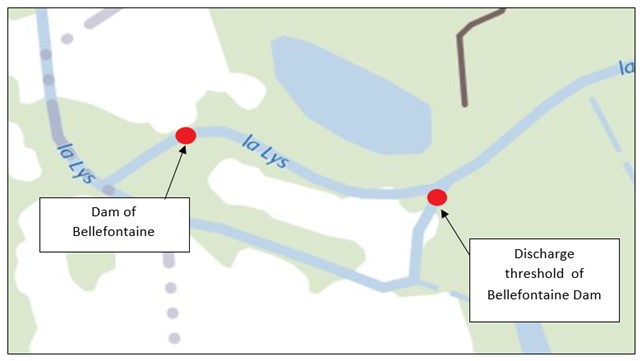
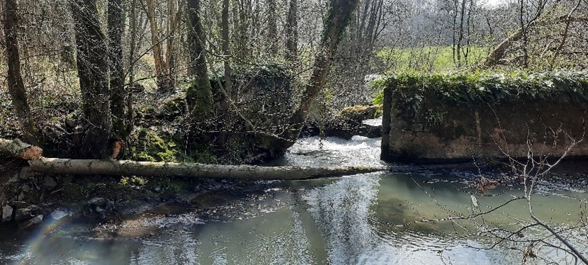
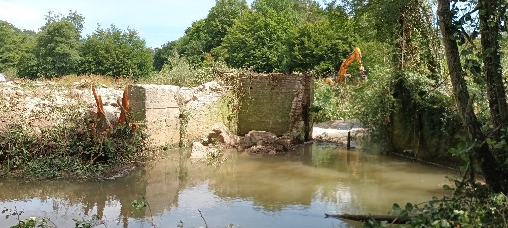
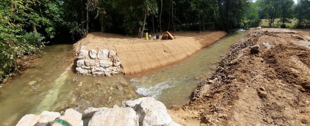
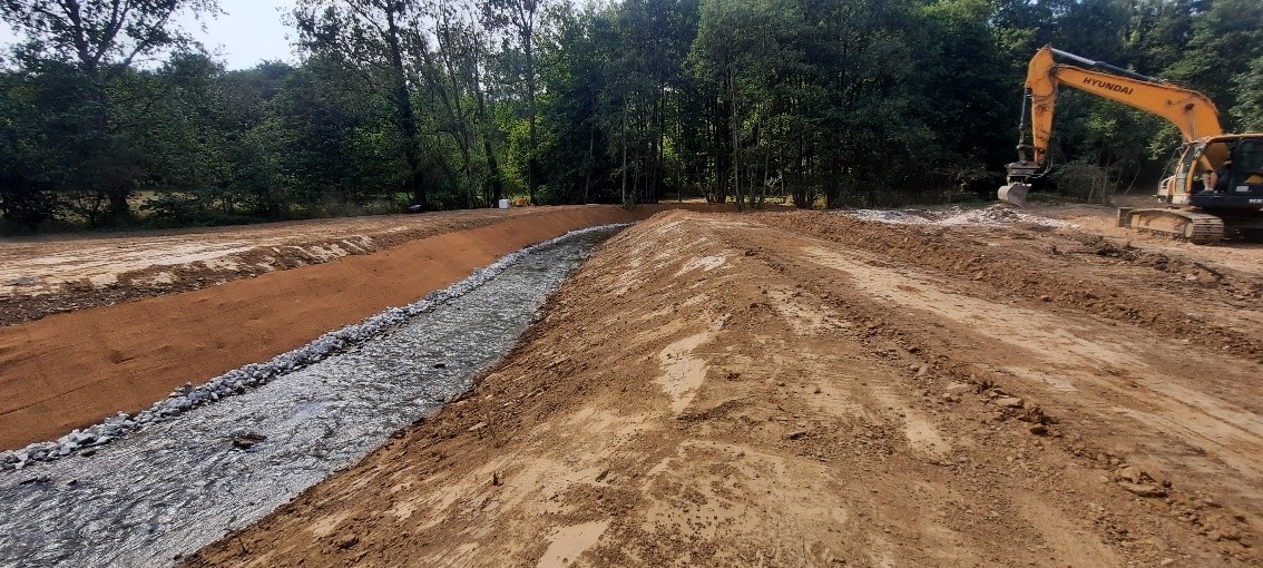
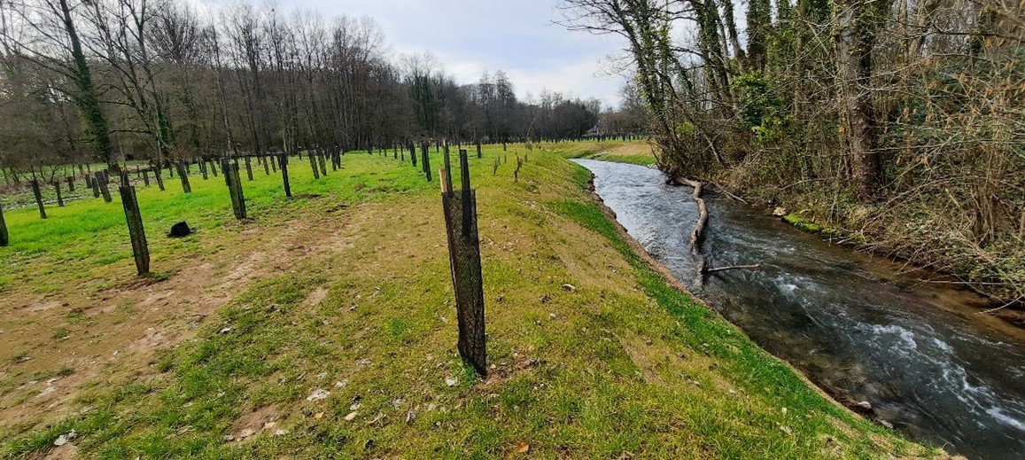
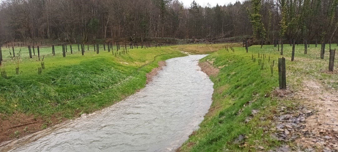
Dismantling of the Bellefontaine Dam and of its discharge weir


The river basin

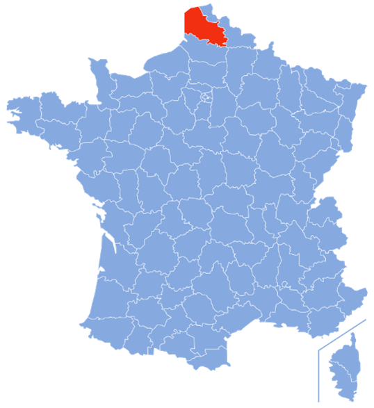
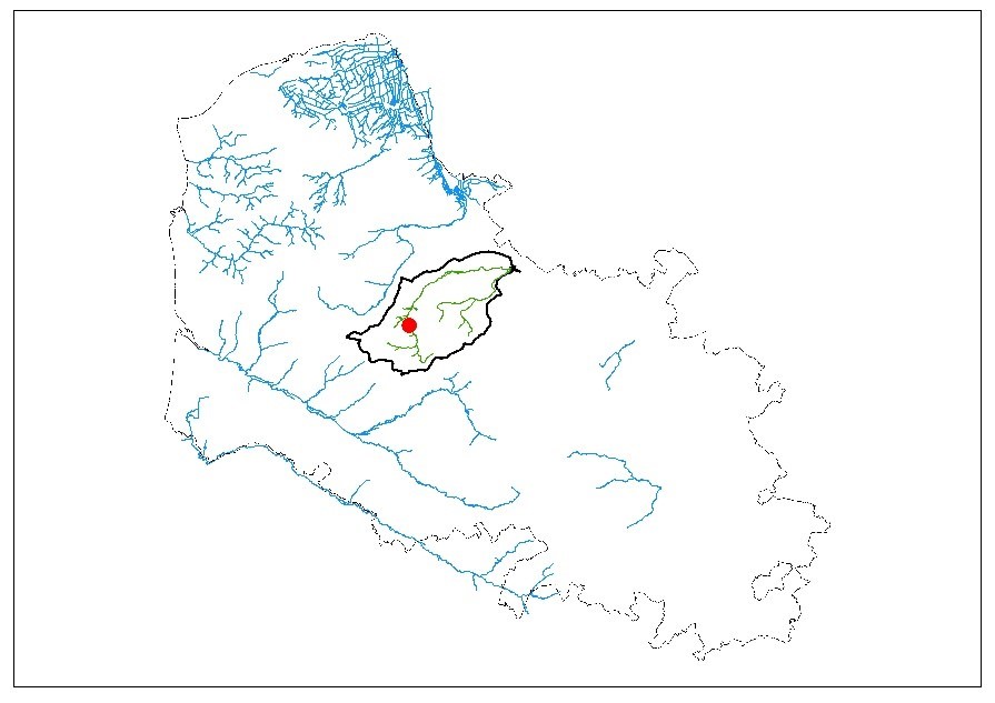
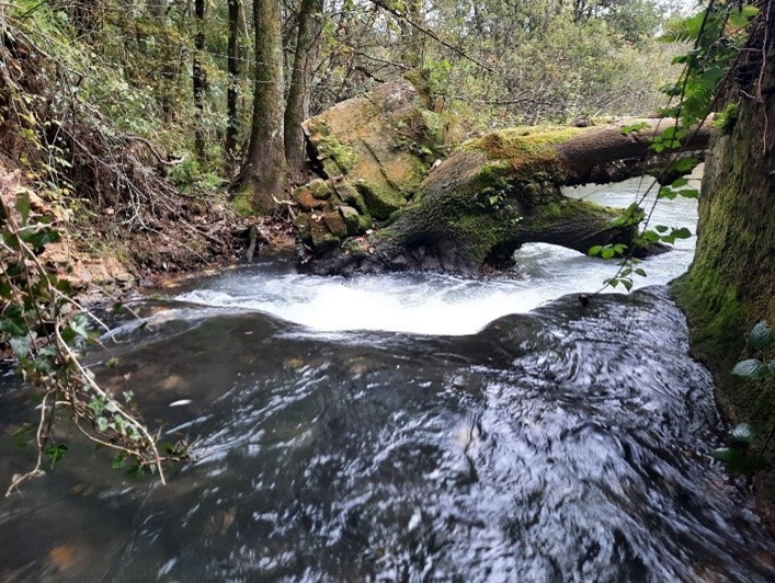
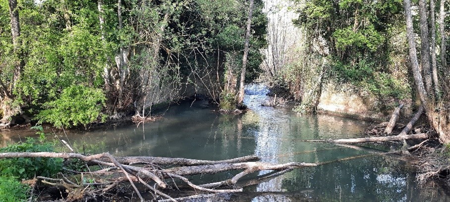
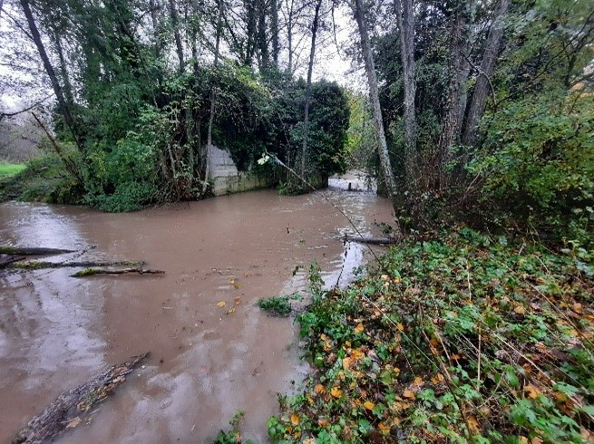
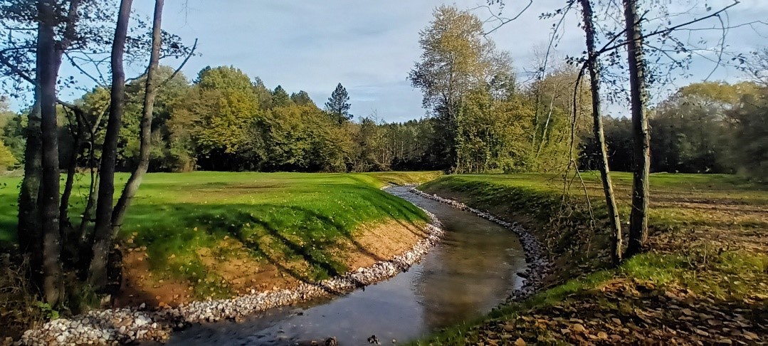
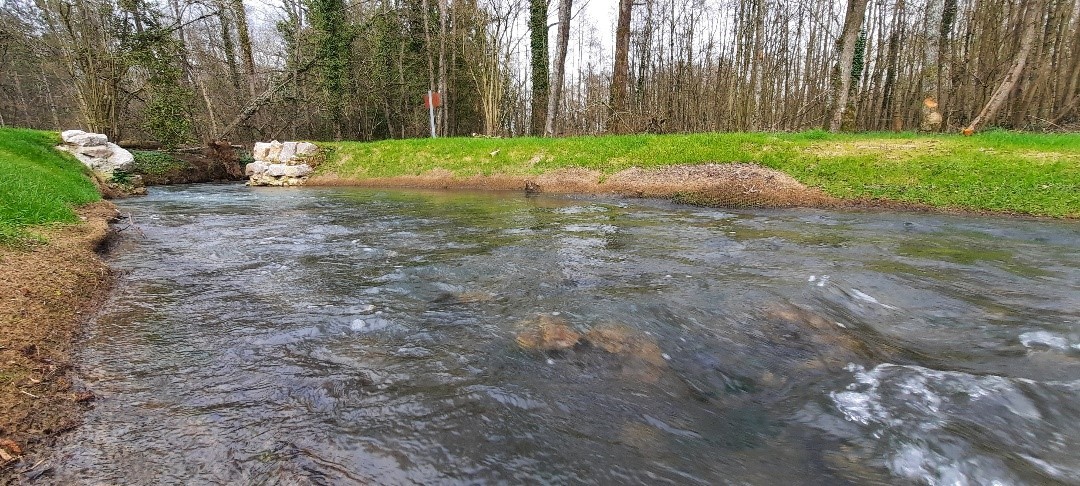
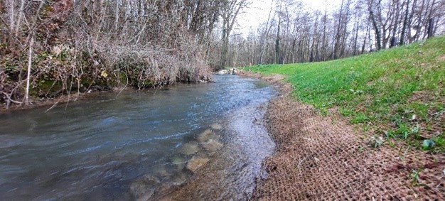
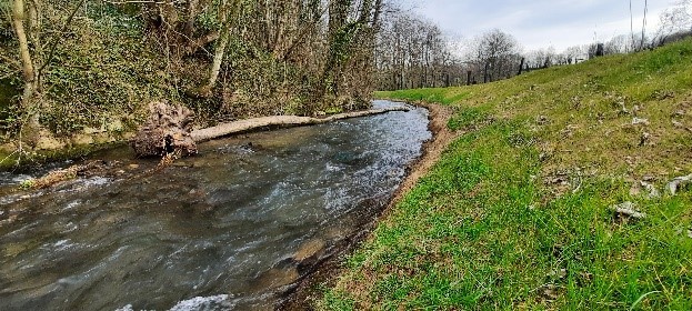
River Lys is a waterway of the Pas-de-Calais department located in the northern of France (Figure 1). Its length is 40 km which extends to 102 km along with its tributaries. It springs from the village of Lisbourg and flows into the channelized Lys in the Moulin le Comte village. It drains a watershed covering 318 km² (Figure 2) and its main tributaries are the Traxenne, the Surgeon, the Vilaine, and the Laquette rivers. Lys is a limestone river, classified as a first-category river and characterized by rapid streams, that is typical of salmonid rivers. The main fish species found at River Lys are indeed salmonids, Atlantic salmon (Salmo salar) and Brown trout (Salmo trutta). A relic population of the worldwide critically endangered European eel (Anguilla anguilla) can also be found in the river. 

Figure 1. Location of the Pas-de-Calais department in France (photo by Wikipedia)
Figure 2. Catchment of River Lys and location of Bellefontaine Dam and its discharge weir (indicated by the red dot)

Barrier removal

The Lys valley has a strong industrial past reflected on the presence of 76 riverine barriers. Many of these barriers consist impassable obstacles for fish and disrupt the ecological functions of the river. Two of these barriers were the Bellefontaine Dam and its discharge weir and were located on a private property along River Lys. At this site, the river corridor is divided into two channels, with the Bellefontaine Dam located on the right channel and the discharge weir on the left channel (Figure 3).

Figure 3. Location of the Bellefontaine dam and its discharge weir at River Lys. Water flows from right to left.

The two barriers (Figures 4-5) were used in clover threshing and remained abandoned and unmaintained since this activity ended. The height of the waterfall, the water velocity, the low water level and the lack of maintenance were the main factors rendering the two structures impassable for fishes.

Figure 4. Bellefontaine Dam at River Lys (photo by FDAAPPMA62)
Figure 5. Discharge weir of Bellefontaine Dam at River Lys (photo by FDAAPPMA62)

Log jams were frequently formed on the site of the Bellefontaine Dam (Figure 6) hampering fish migration even further and causing overflows of the river. The two barriers also caused the formation of a long impoundment, over several tens of meters (Figure 7), which led to habitat degradation.

Figure 6. Downstream view of the Bellefontaine dam and a log jam (photo by FDAAPPMA62) 
Figure 7. Downstream view of the Bellefontaine dam and the formed impoundment (photo by FDAAPPMA62)

The Fédération du Pas-de-Calais for fishing and the protection of the aquatic environment (FDAAPPMA62) carried out one of the first restoration projects ever executed at River Lys in partnership with SYndicat Mixte pour le Schéma d’Aménagement et de Gestion des Eaux de la Lys (SYMSAGEL), the entity managing the watercourse, and in consultation with the state services. The project included the removal of the Bellefontaine Dam and the modification of its discharging weir and aimed to restore fish migration, fish habitat, sediment transport and the river’s hydromorphology, and to reduce the flooding risk (Videos 1-2).

Video 1. Restoration of River Lys continuity by dismantling the Bellefontaine Dam and its discharge weir

In 2021 several meetings took place between FDAAPPMA62, SYMSAGEL and the owner of the barriers to discuss possible solutions for the restoration of the ecological continuity of the river. Consultation meetings with the local community and the town hall were also arranged throughout the project to explain the gains from the proposed project and to ease their initial concerns. A hydraulic and topographic study of the site led to a technical solution that was satisfying and within the expectations of the owner. Following the agreement regarding the work plan, the in-river works began on July 4, 2022.

The works on the barriers included the demolition of the Bellefontaine Dam and the adjacent buildings (Figure 8) and the modification of the discharge weir to restore fish passage and sediment transport, while maintaining the previous flow distribution within both canals (Figure 9). In addition, the riverbanks were reprofiled to decrease their slope (Figure 10) and a new riparian zone was created, including afforestation with shrubs and trees (Figure 11). Habitats suitable for the reproduction of salmonids were also created.

Figure 8. Demolition works of the Bellefontaine Dam and the adjacent buildings (photo by FDAAPPMA62)
Figure 9. Modification of the discharge weir of the Bellefontaine Dam (photo by FDAAPPMA62) 
Figure 10. Reprofiling of the riverbanks of River Lys (photo by FDAAPPMA62)
Figure 11. Afforestation of the reprofiled riverbanks of River Lys (photo by FDAAPPMA62) 

The restoration works were completed (Figures 12-14) after two months and the project costed 161110.032 . The 70% of the cost was covered by the Artois-Picardy Water Agency and the remainder 30% by the HautsdeFrance Region.  

Figure 12. Site upstream the Bellefontaine Dam after its removal (photo by FDAAPPMA62) 
Figure 13. Site downstream the Bellefontaine Dam after its removal (photo by FDAAPPMA62) 
Figure 14. Site after the modification of the discharge weir of the former Bellefontaine Dam (photo by FDAAPPMA62) 

Ecological and community benefits

Following the work’s conclusion, multifaceted improvement of the site could already be observed. The water flow has been restored and is now typical of a salmonid river, as well as the natural sediment transport and the hydromorphology of the watercourse. Flood risk has also been reduced as evidenced during the flood period that followed the conclusion of the works. In total, 1.8 km of the watercourse has been opened and an area of 550 m2 of suitable habitat for reproduction purposes has been made colonizable for fishes. The riverbanks have also been restored favoring the spontaneous establishment of vegetation. The restoration works were followed by: 

  • Monitoring of the spawning grounds upstream of the work site
  • Monitoring of the hydromorphological evolution of the watercourse  
  • Monitoring of the recovery of the riparian vegetation 
Video 2. Restoration of River Lys continuity by dismantling the Bellefontaine Dam and its discharge weir 

Before & After photo pair

The removal site at River Lys: (left) before and (right) after the removal operations of the Bellefontaine Dam (photos by FDAAPPMA62)  

The removal site at River Lys: (left) before and (right) after the removal operations of the Bellefontaine Dam (photos by FDAAPPMA62)  

Written by Foivos A. Mouchlianitis

  • Name: Bellefontaine Dam and its discharge weir
  • Location: River Lys, Mencas – Pas-de-Calais, France
  • Type: dam and weir
  • Dimension: Height (Bellefontaine Dam) 0.7 and (discharge weir) 0.3 m; Length (Bellefontaine Dam) 4.7 and (discharge weir) 2.15 m
  • Aims of removal: To restore fish migration, fish habitat, sediment transport and the river’s hydromorphology, and to reduce flooding risk
  • Year of removal: 2022