Fédération de pêche des Pyrénées-Atlantiques restores longitudinal river connectivity in south-west France
THE RIVER BASINS
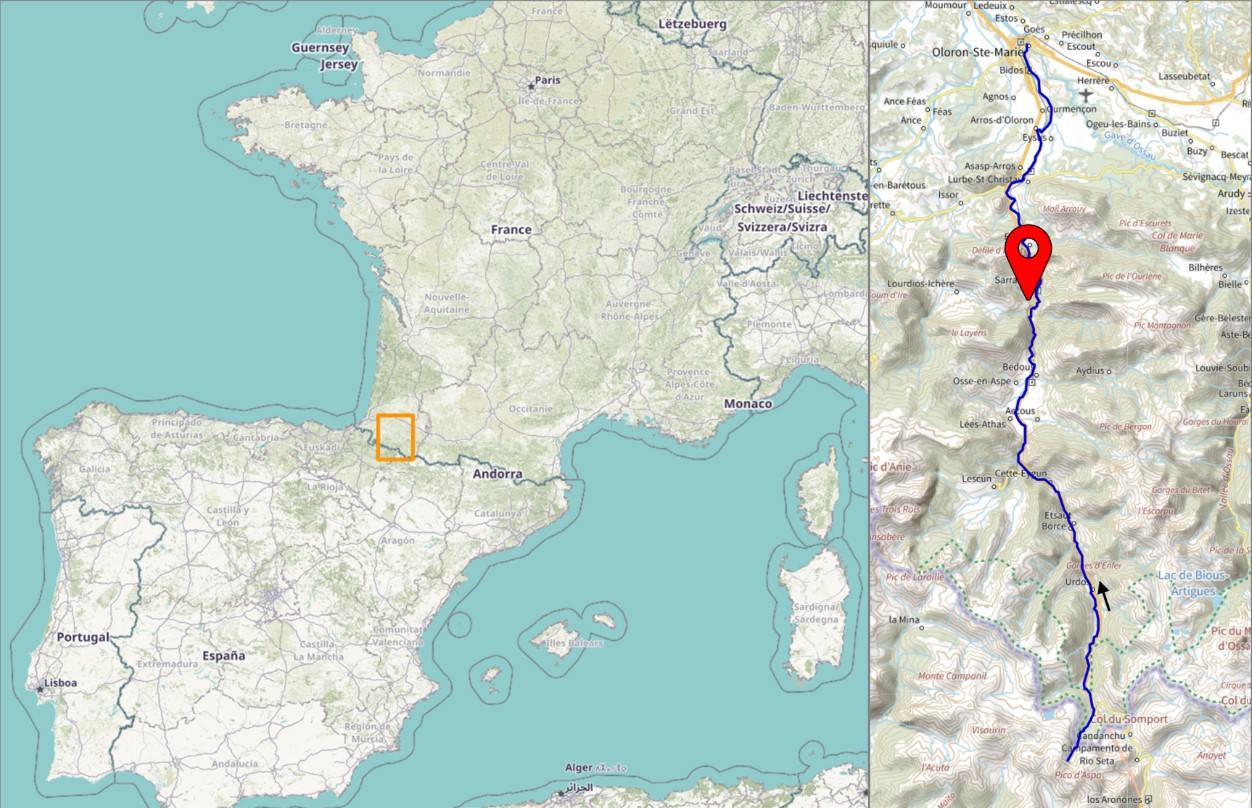
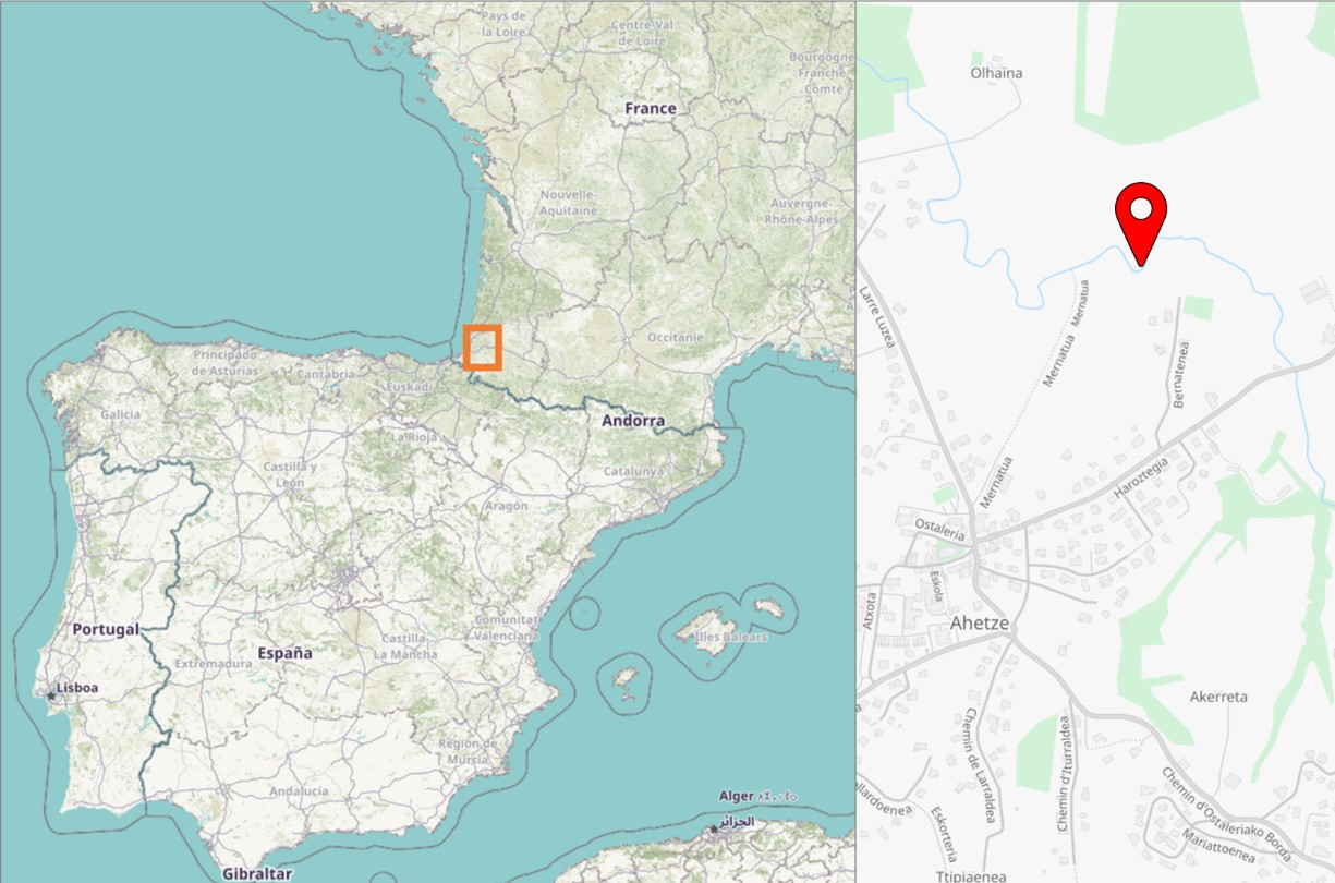
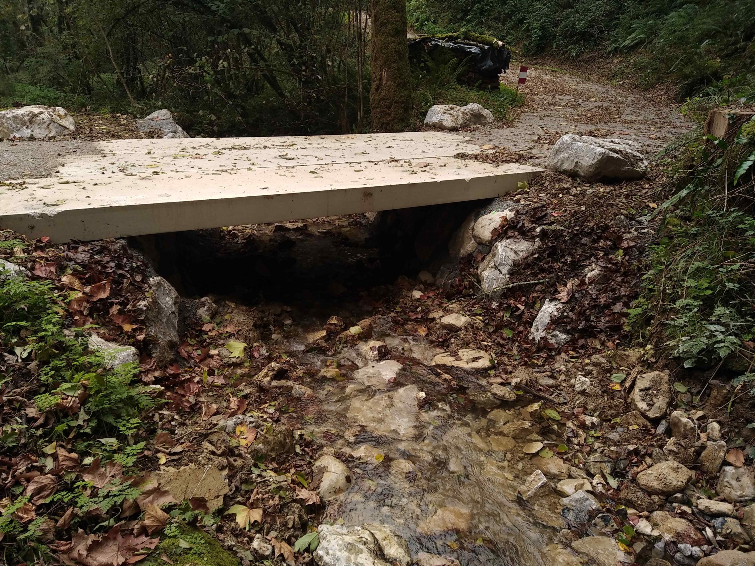
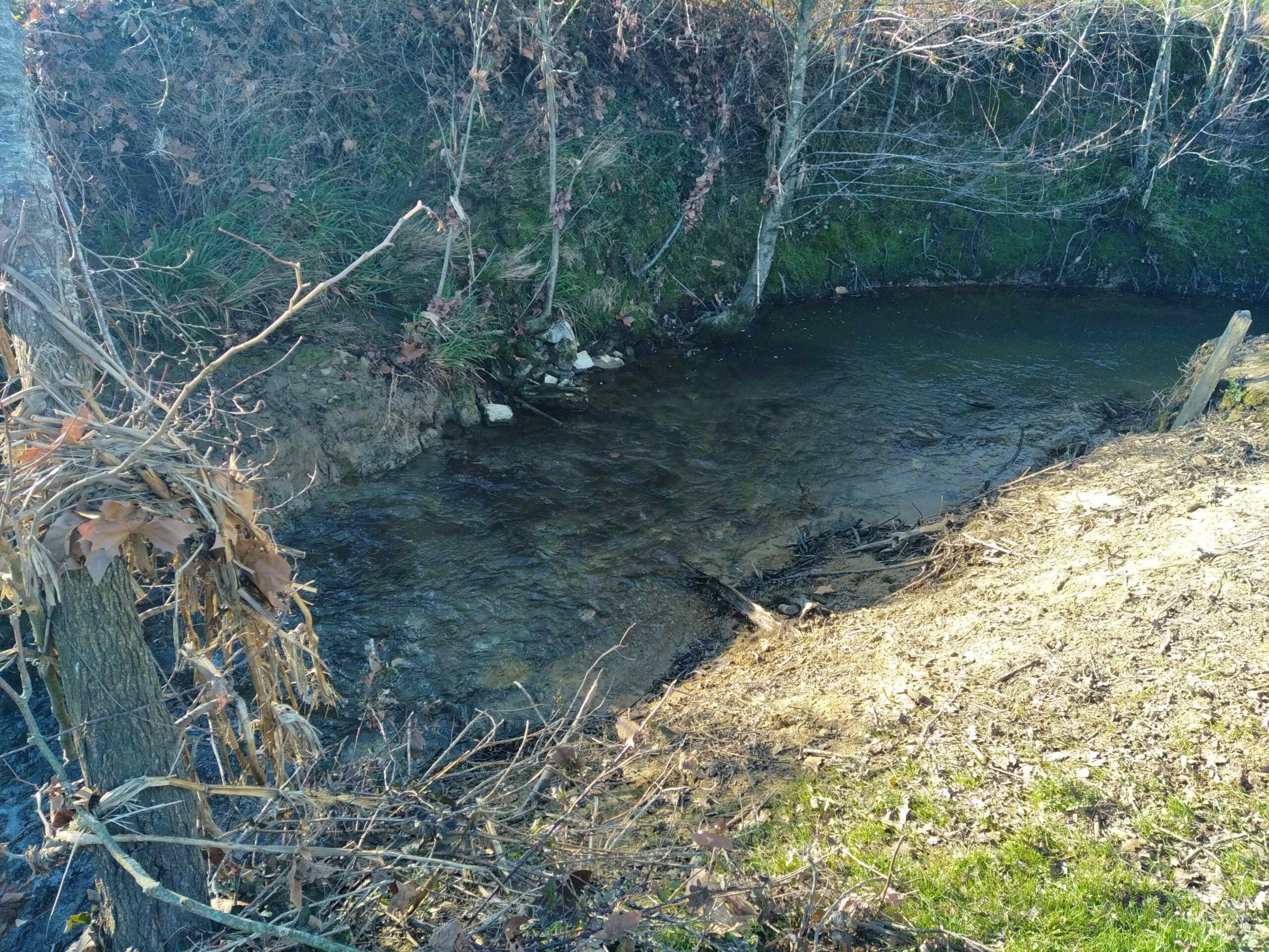
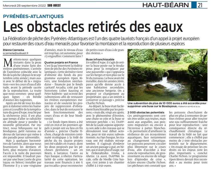
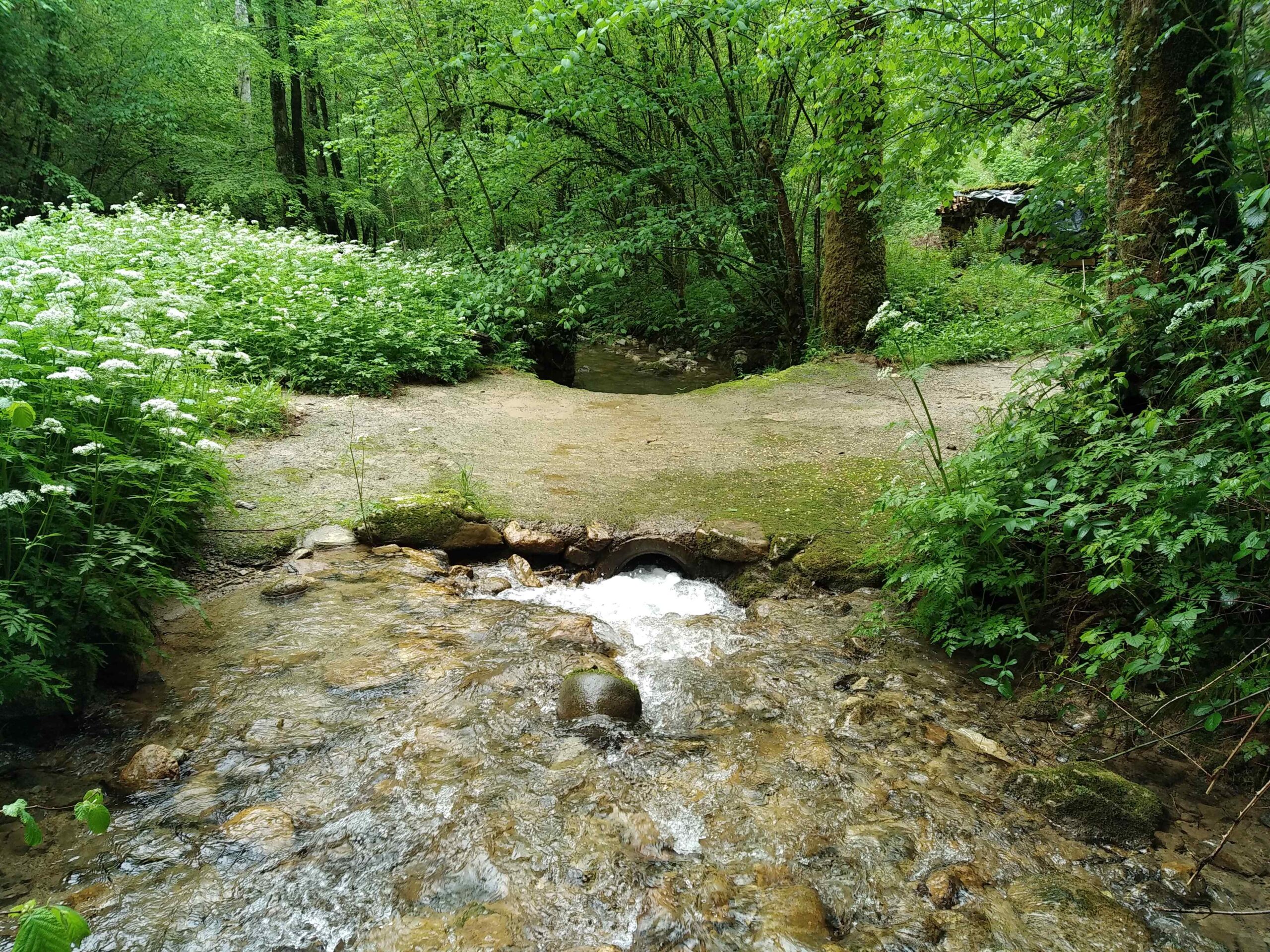
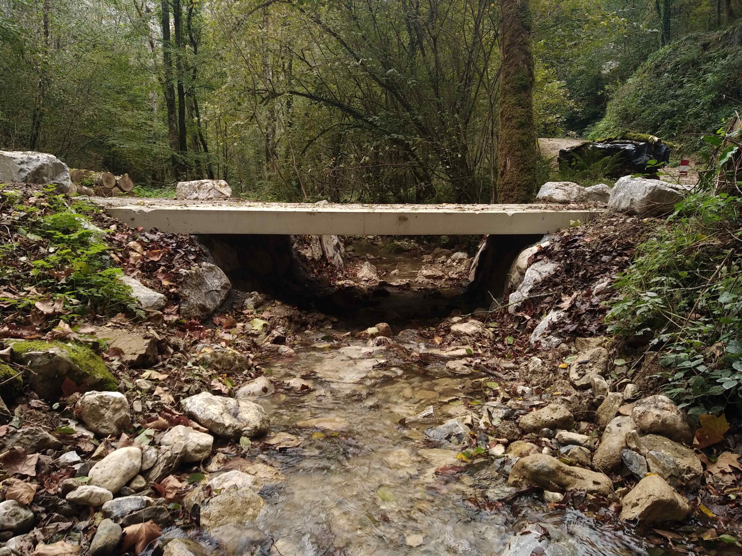
The River Bosdapous
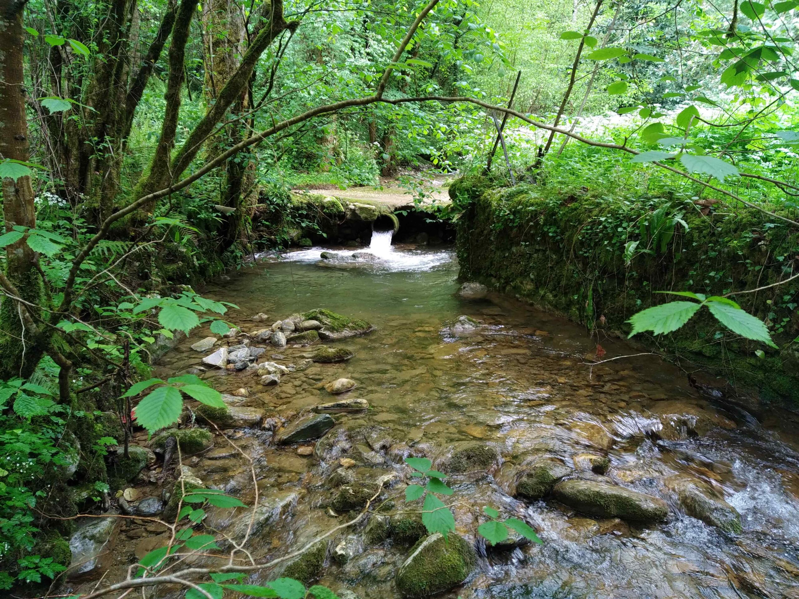
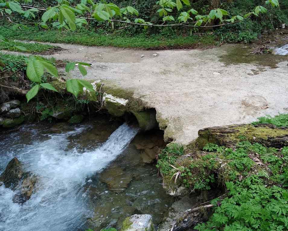
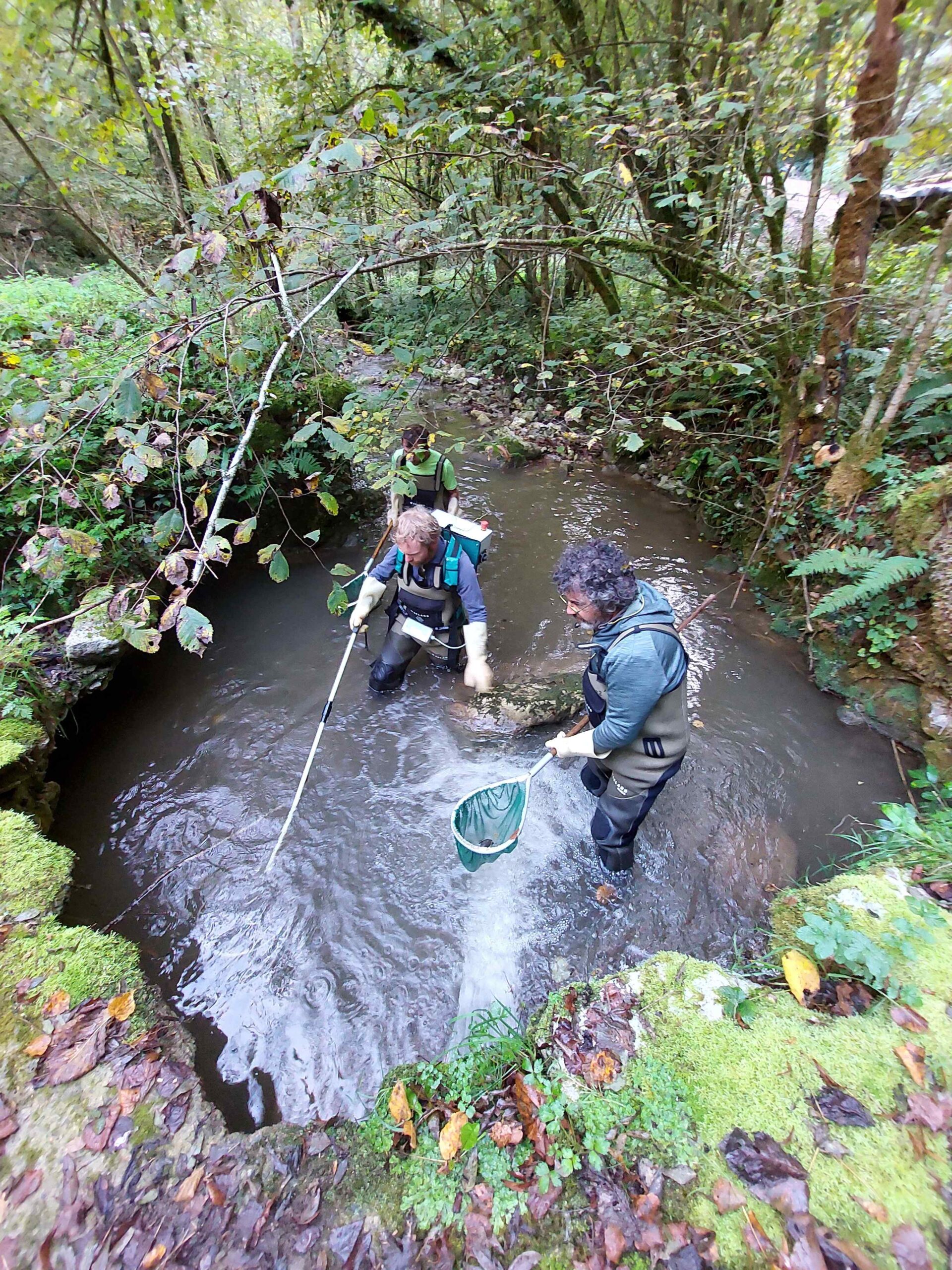
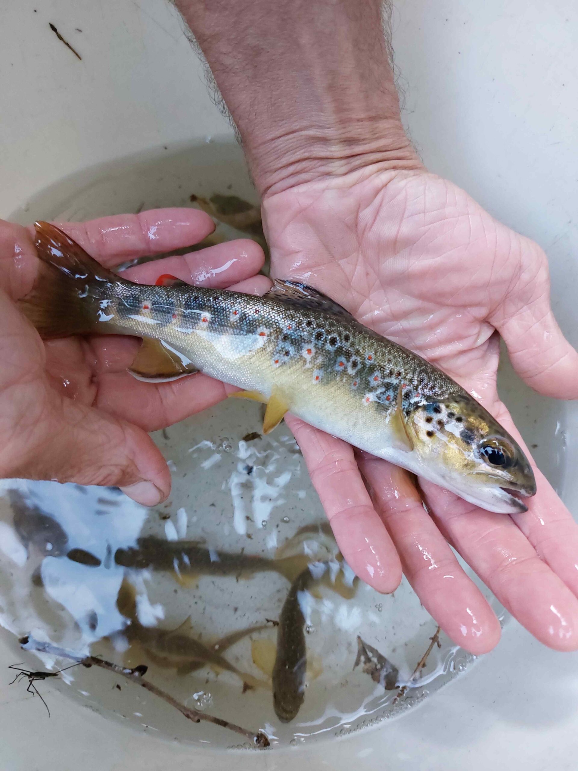
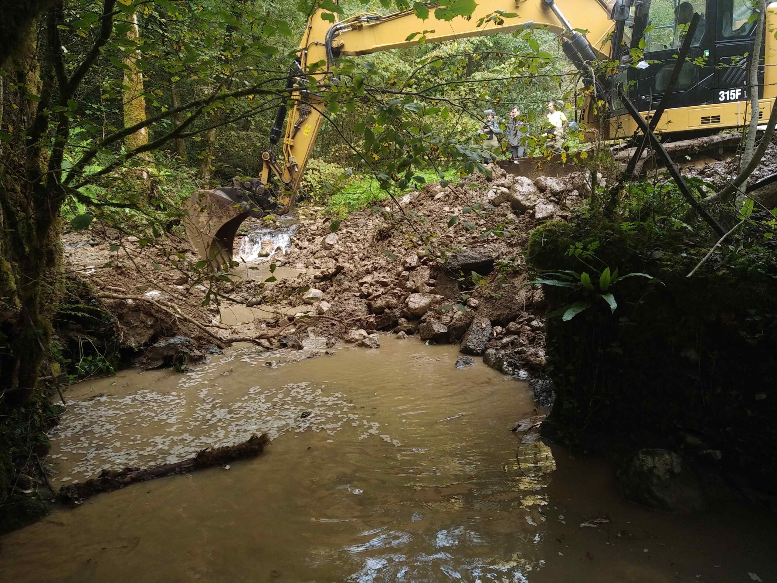
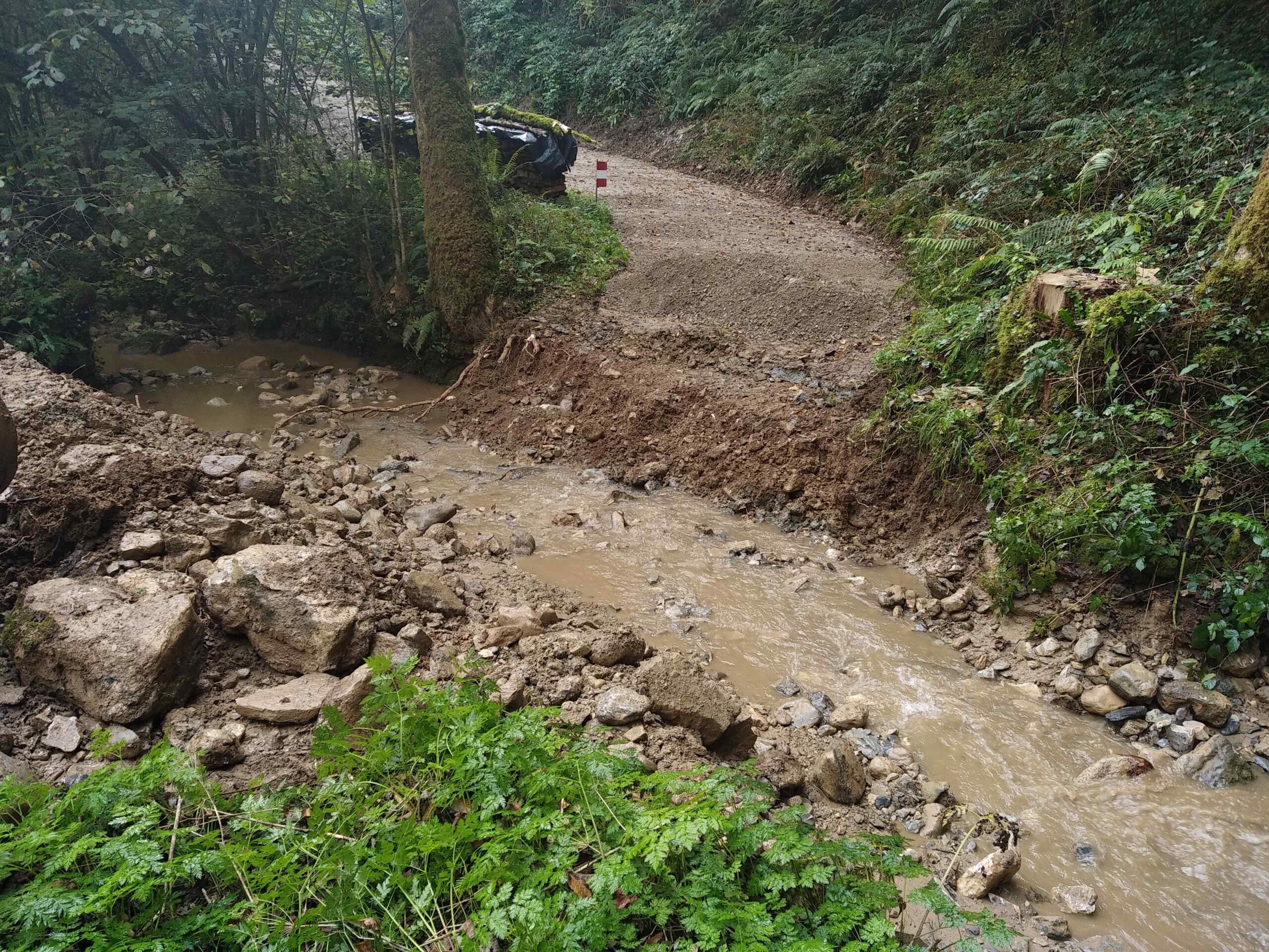
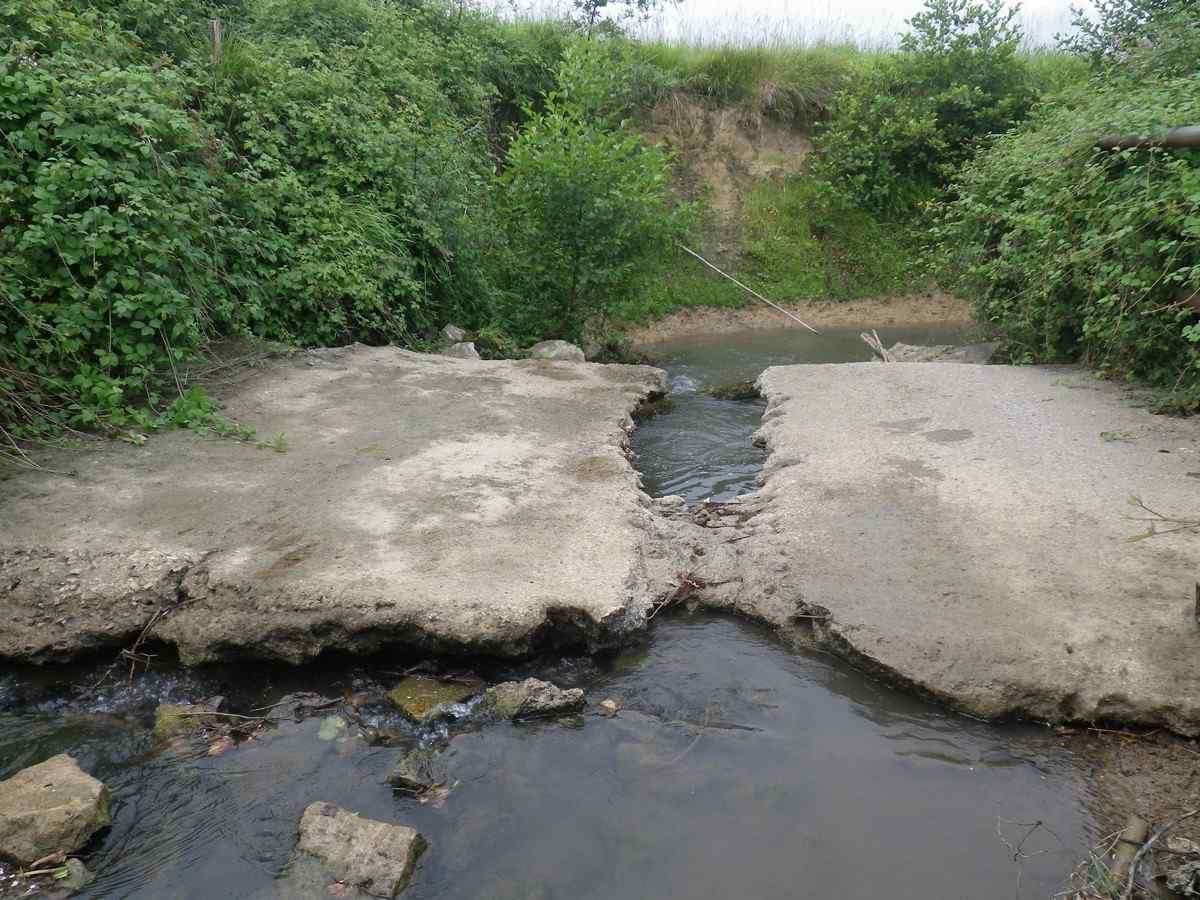
River Bosdapous rises at 900 m altitude and runs for 4.5 km before it flows into Gave d’Aspe. The latter is located in south France close to the French-Spanish border (Figure 1). It is inhabited by large populations of Sea trout and Brown trout (Salmo trutta), Atlantic salmon (Salmo salar), and European eel (Anguilla anguilla). The latter two fish species are characterized by the French IUCN red list as “vulnerable” and “critical”, respectively. Atlantic stream crayfish, Austropotamobius pallipes, is also present in Gave d’Aspe and characterized as “vulnerable” by the French IUCN red list. The presence of all these species in River Bosdapous is very limited and restricted to its lowest 0.5 km section due to the presence of Lescoude Culvert. Specifically, only a small number of salmon and trout could surpass the barrier, while eels are completely excluded from the upstream section of the river and could be found only downstream the culvert. However, River Bosdapous has great potential to facilitate the successful reproduction of salmonids, especially Sea trout.