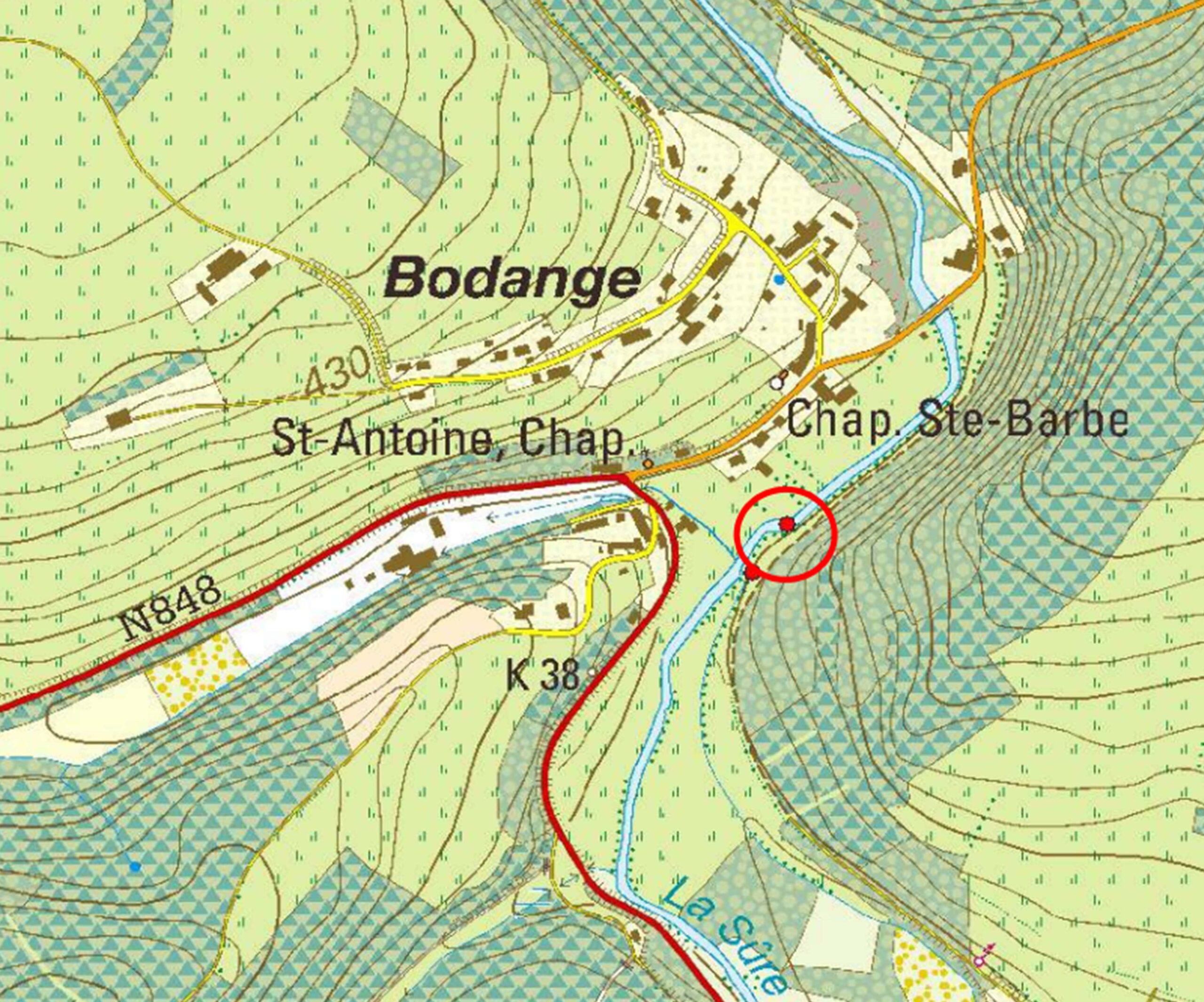
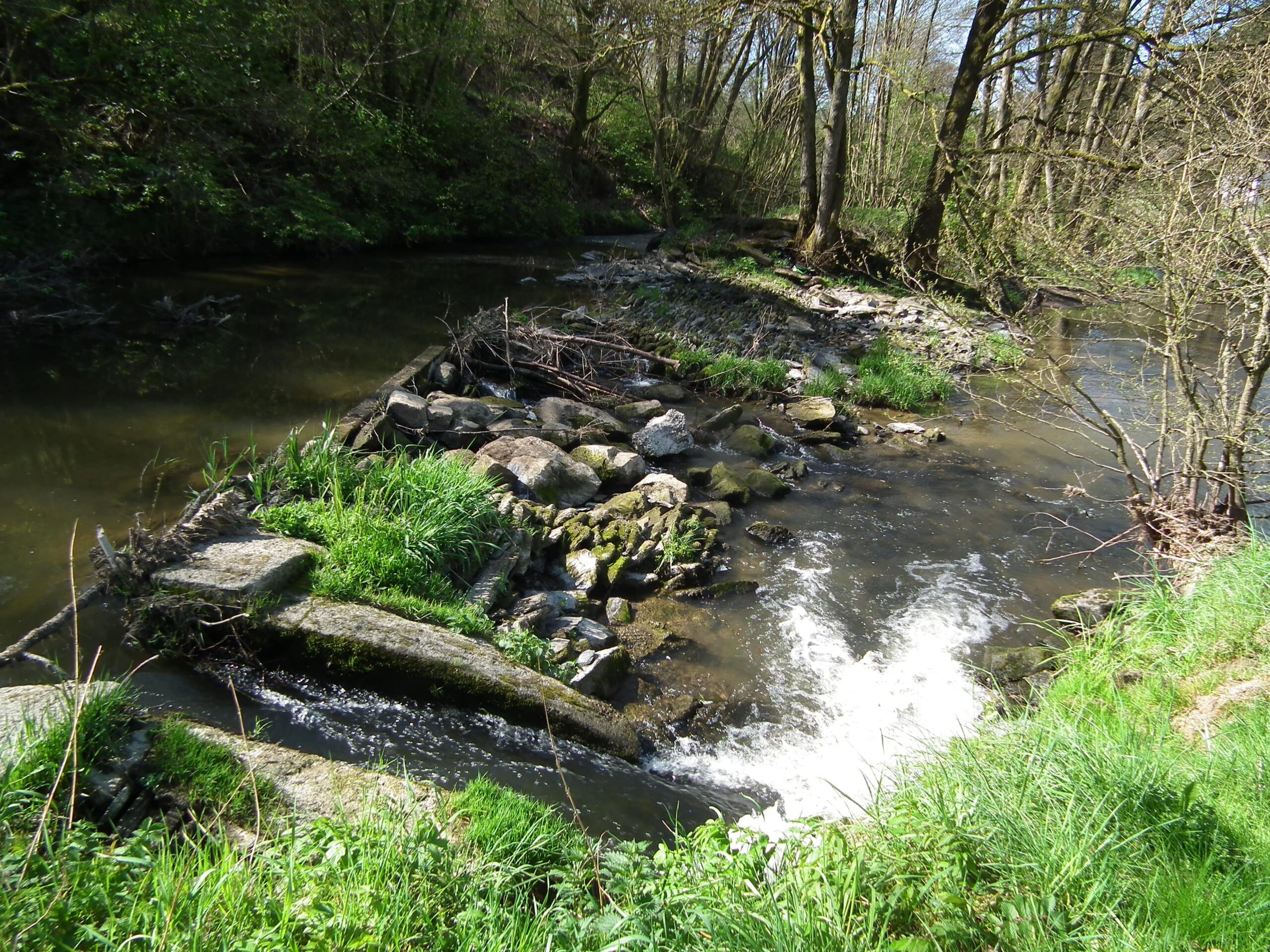
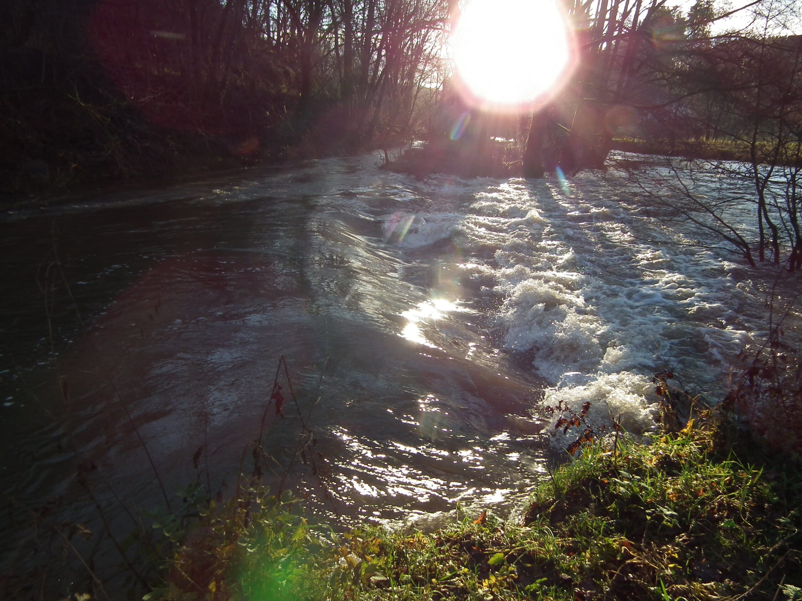
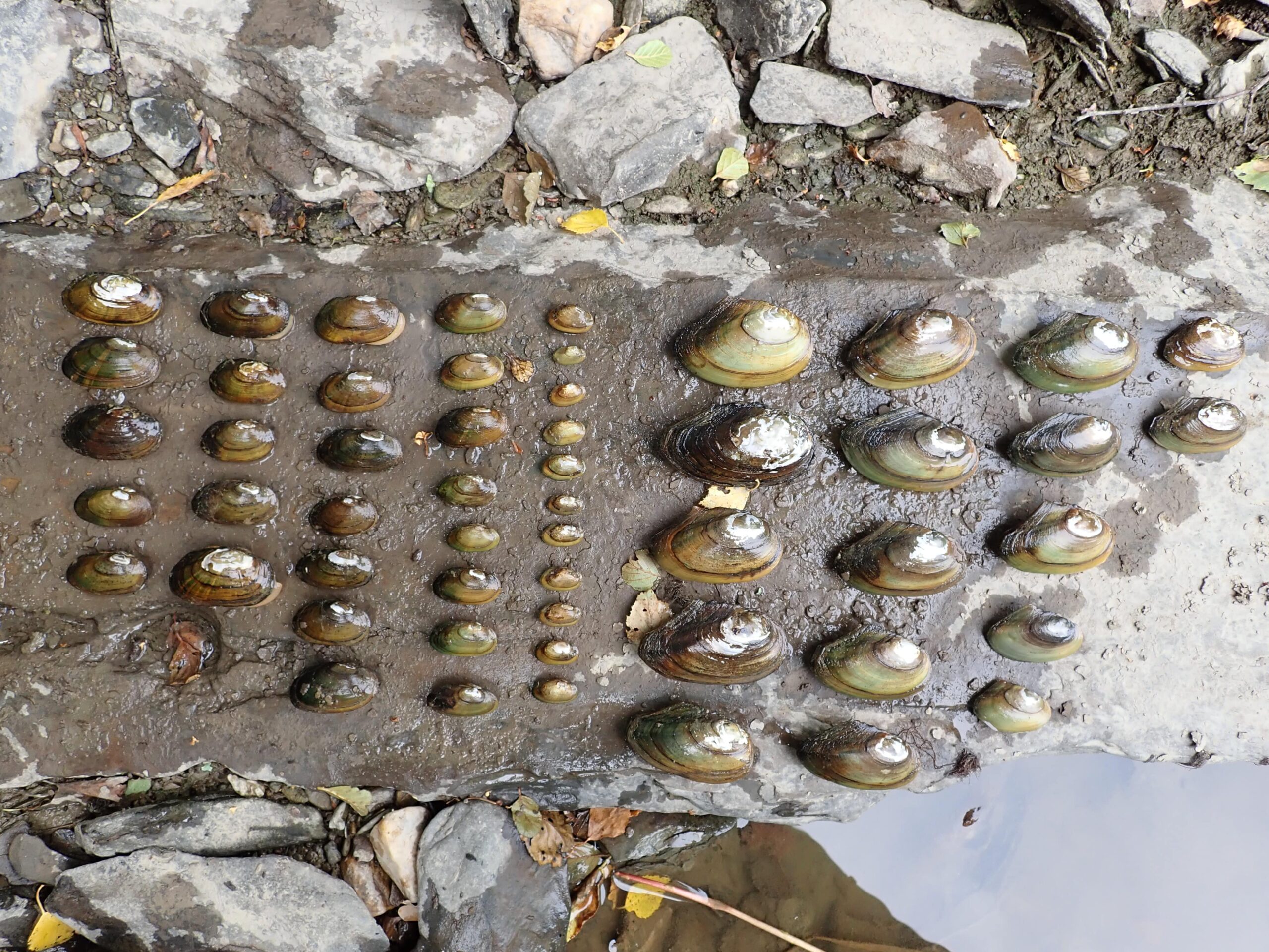
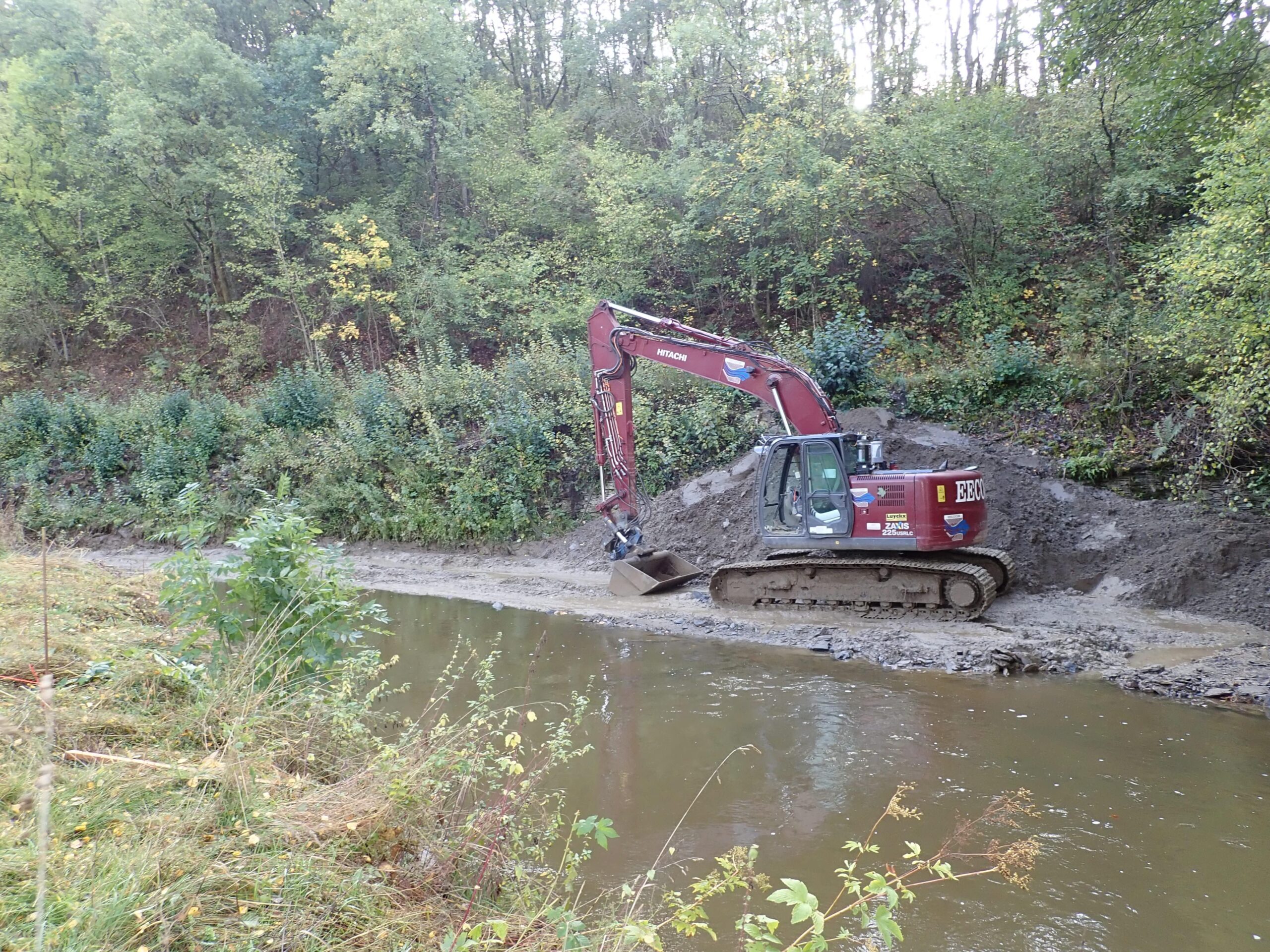
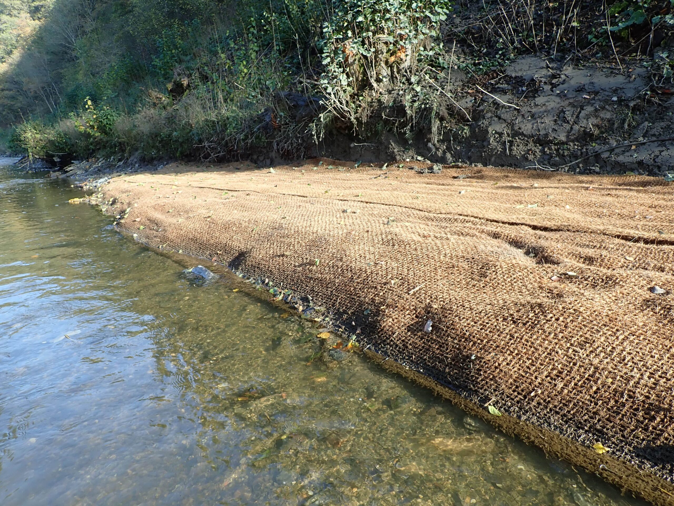
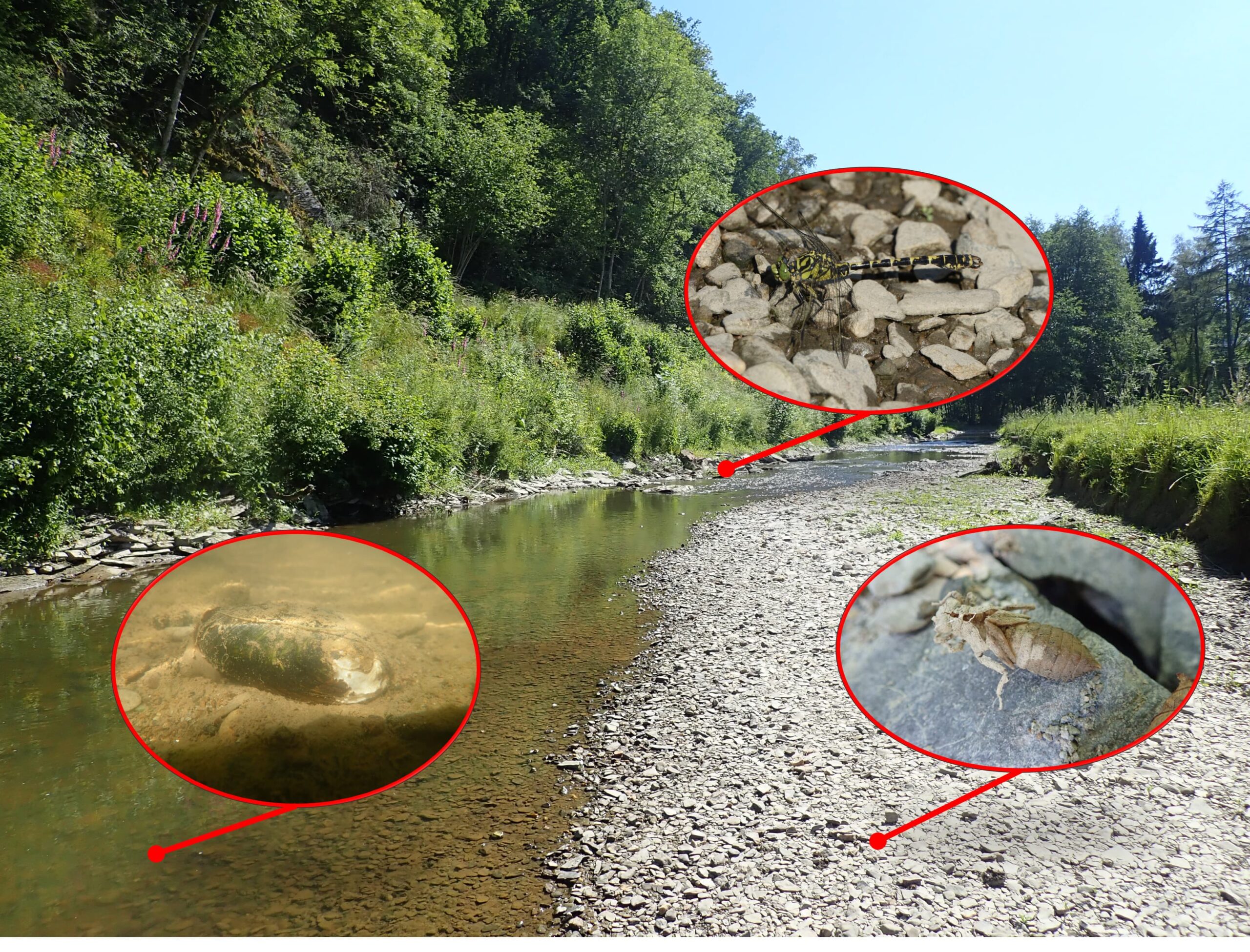
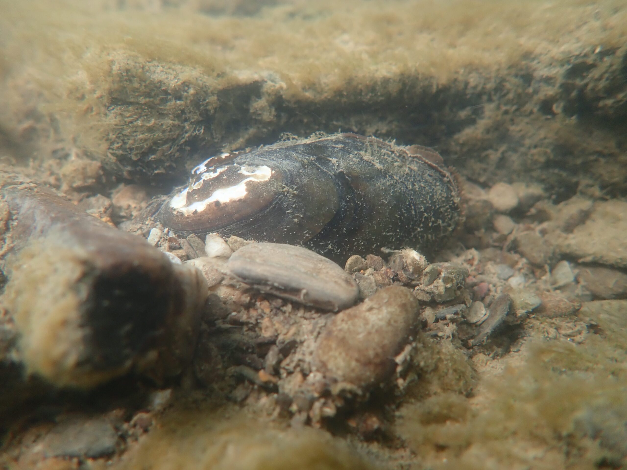
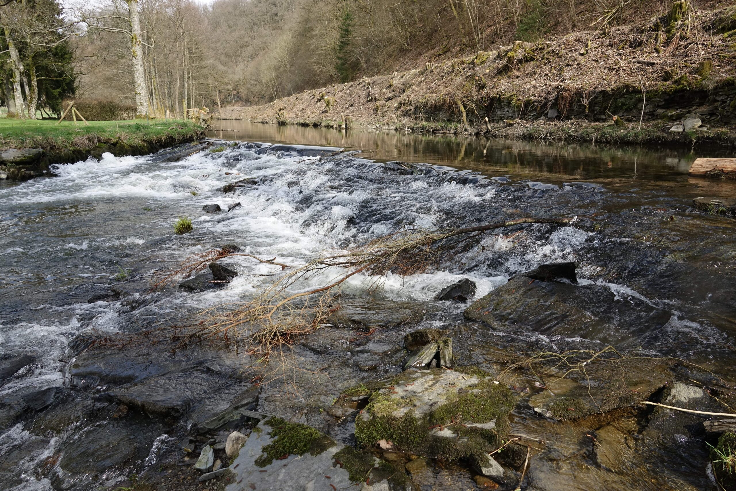
Bodange Weir removal within the framework of the “Fish for Mussels” project
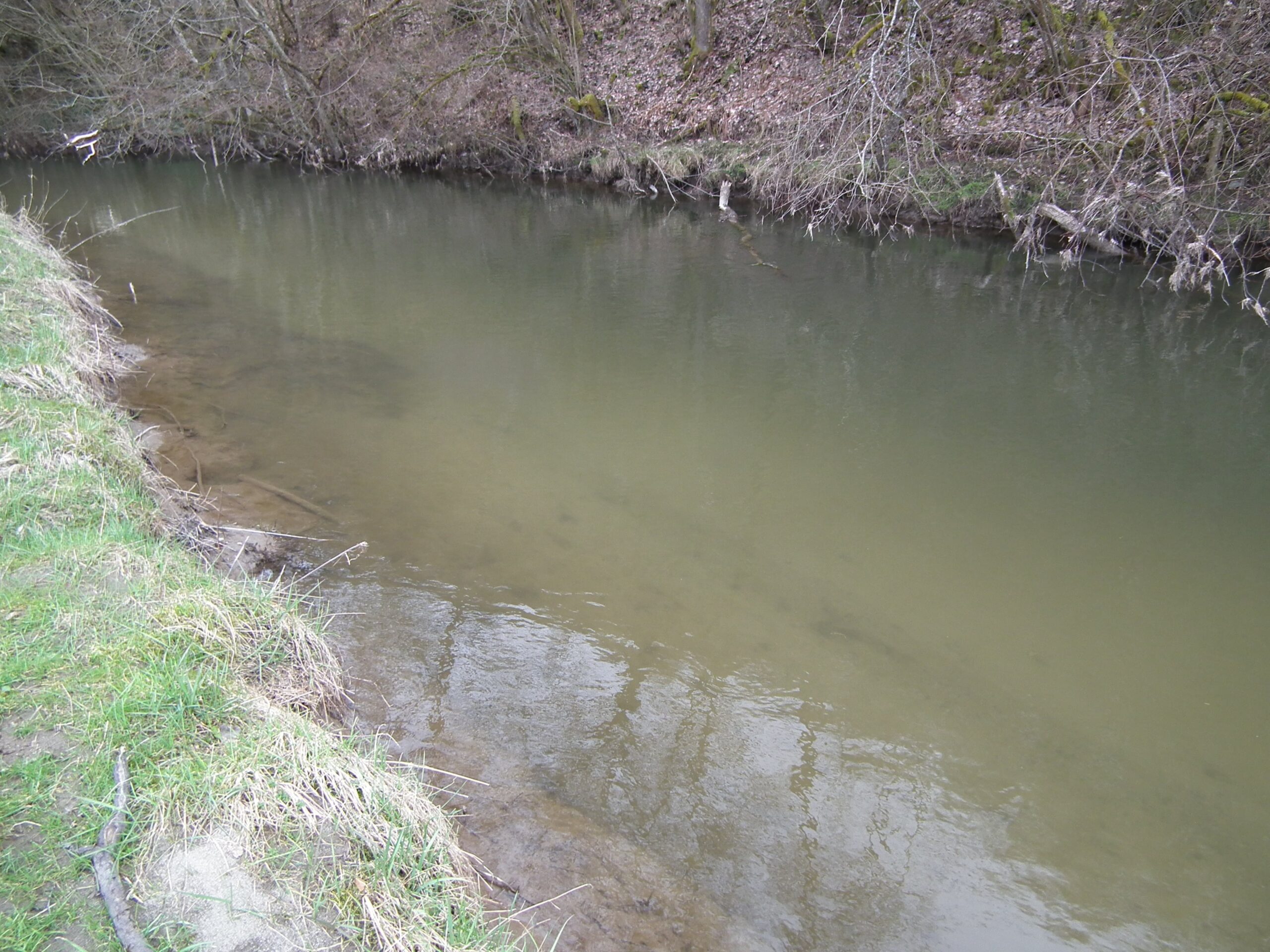
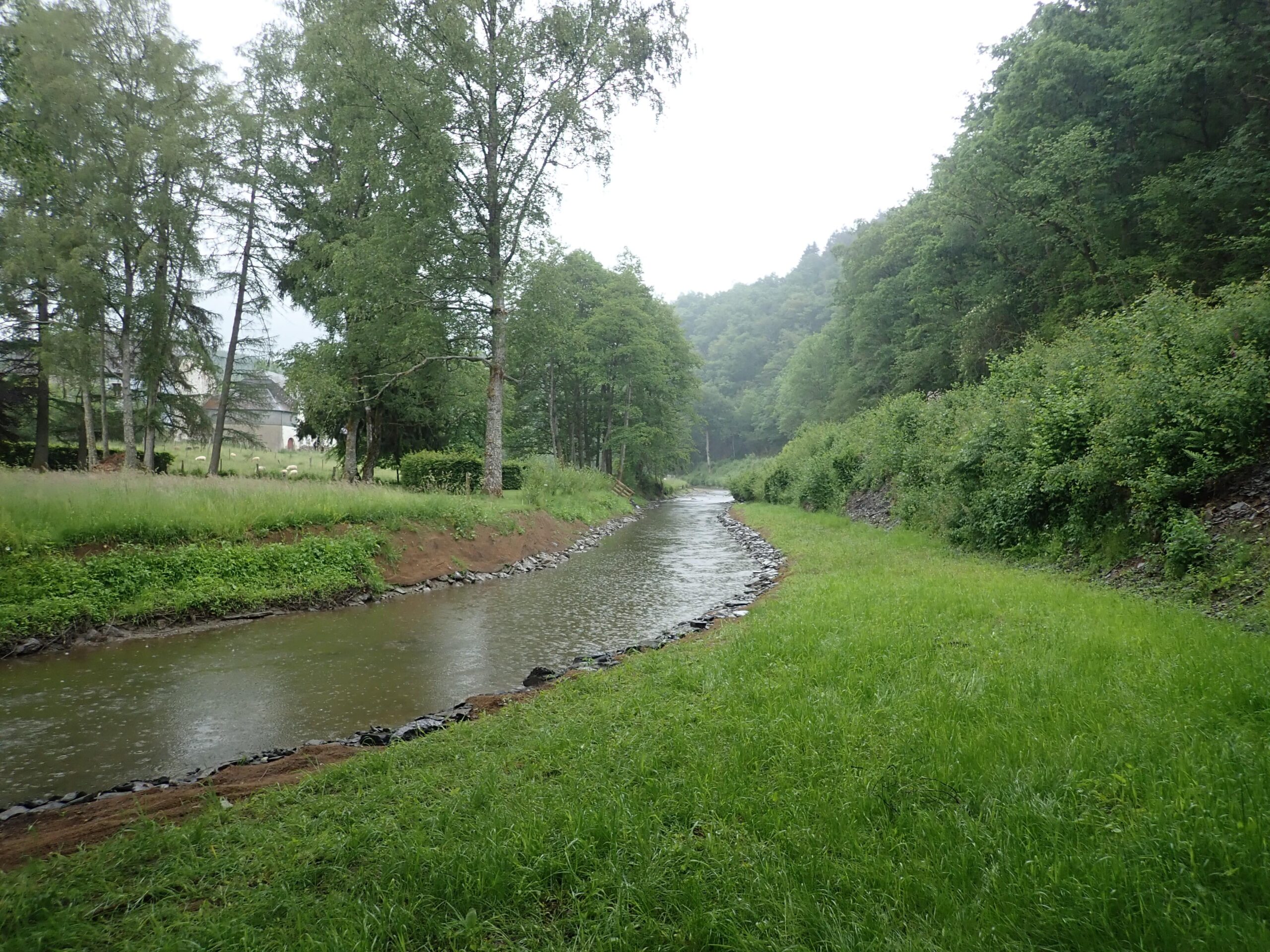
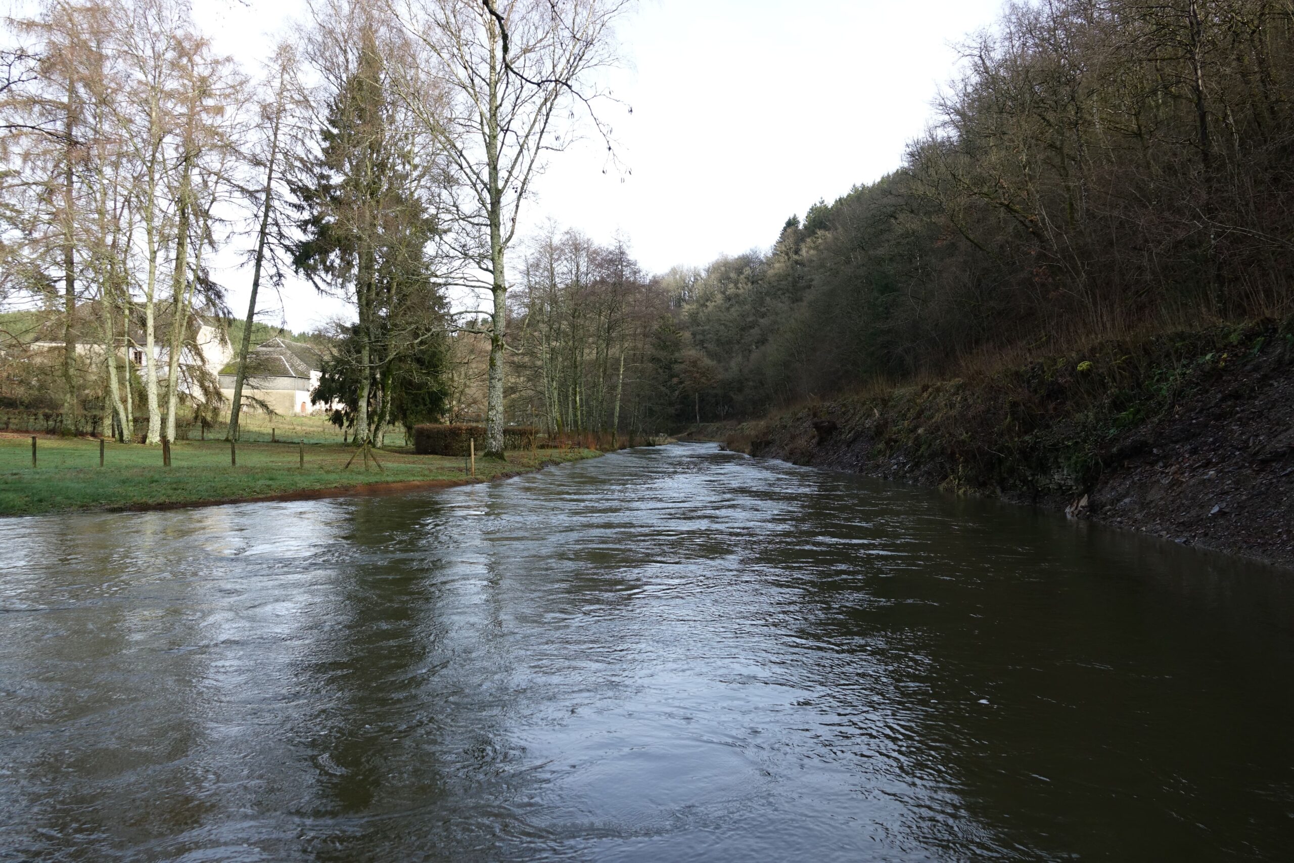
 

The River Sûre
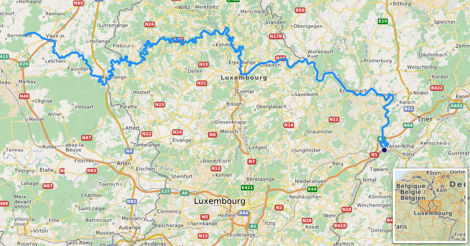
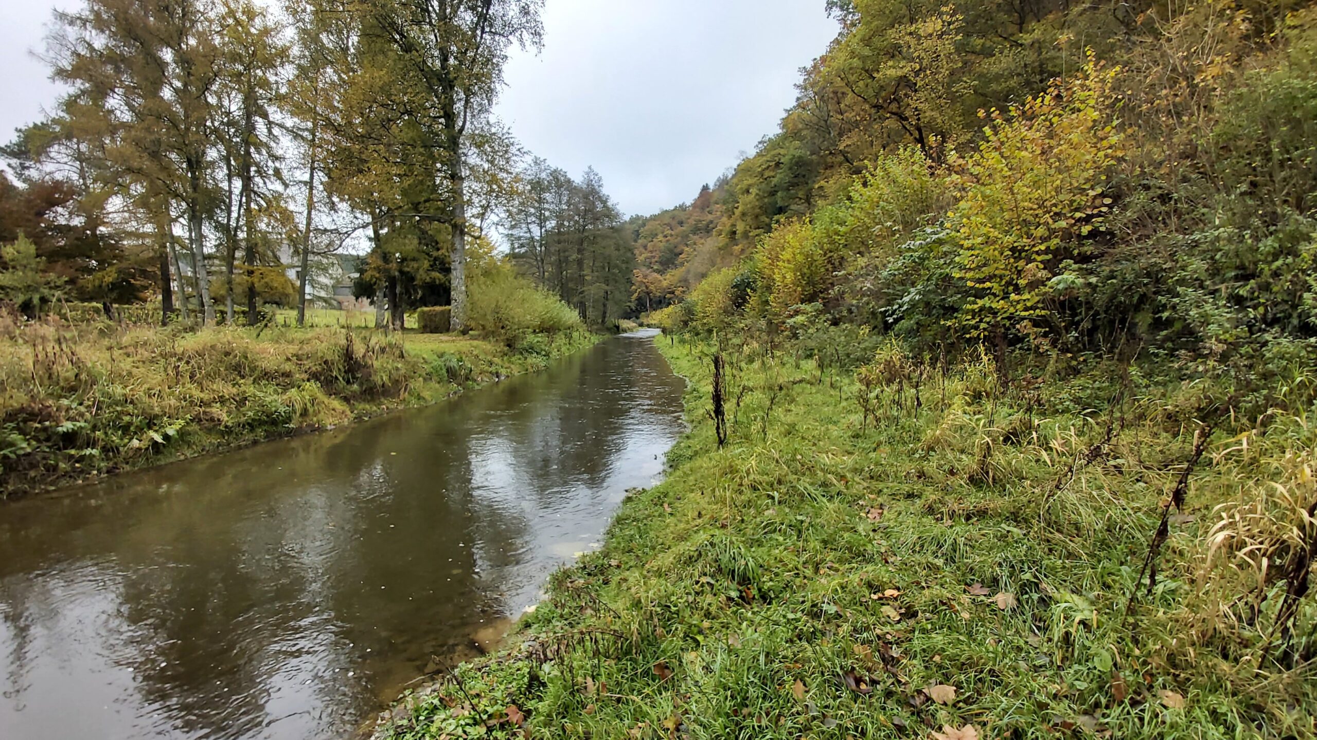
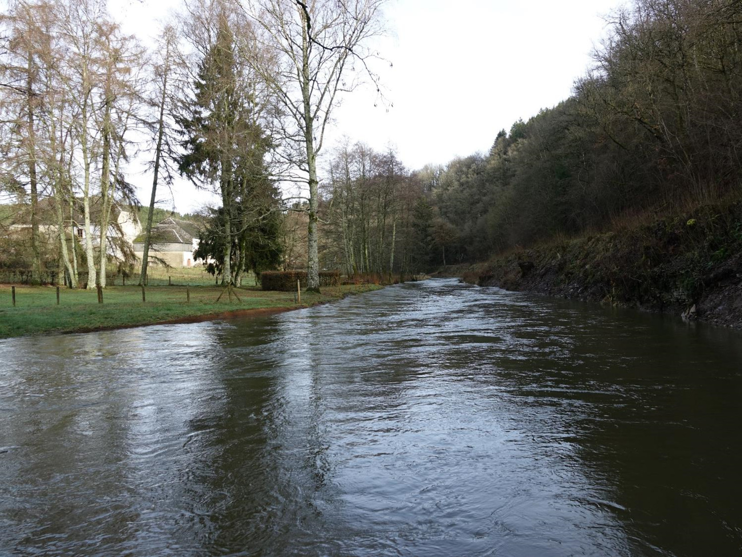
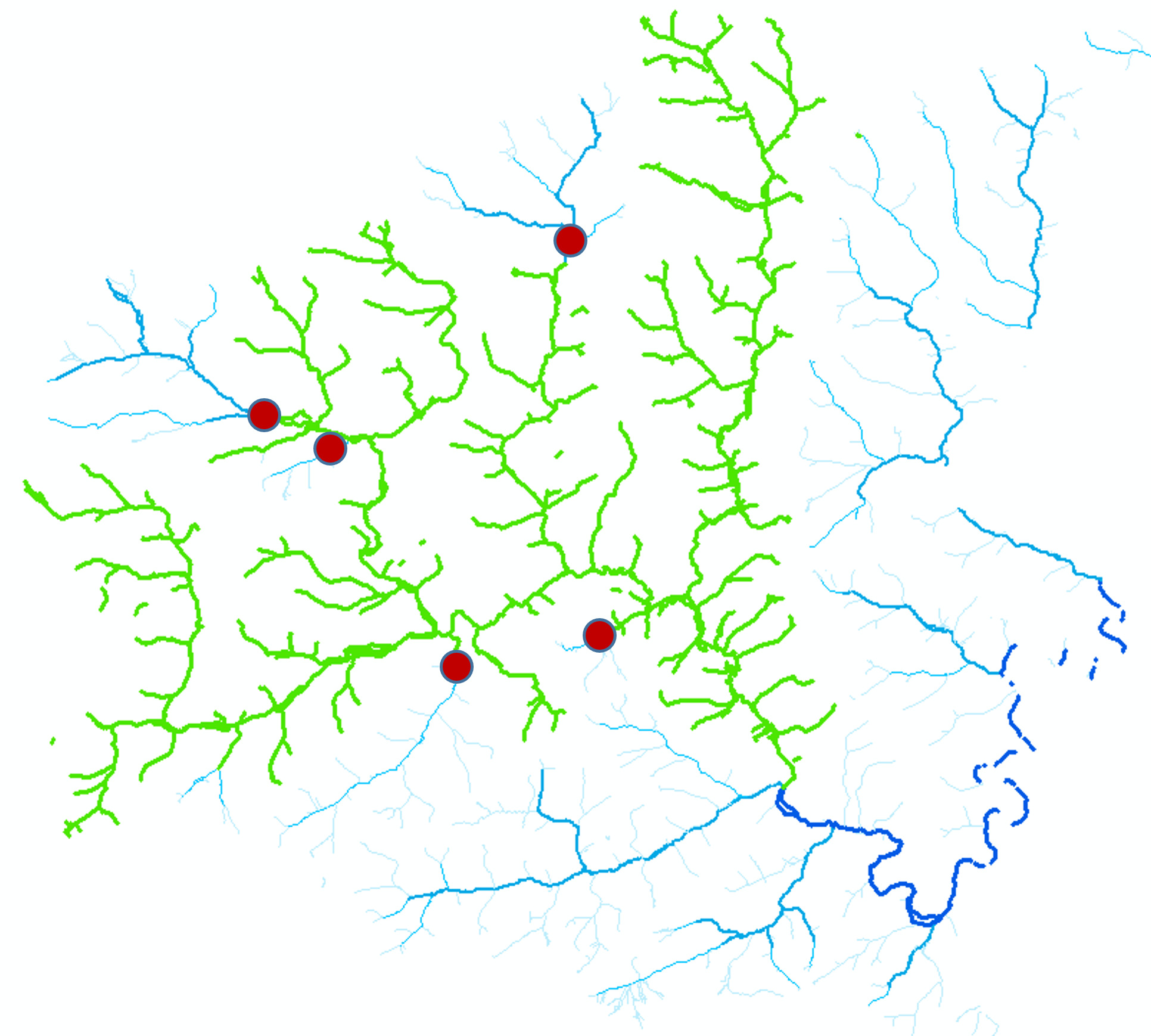
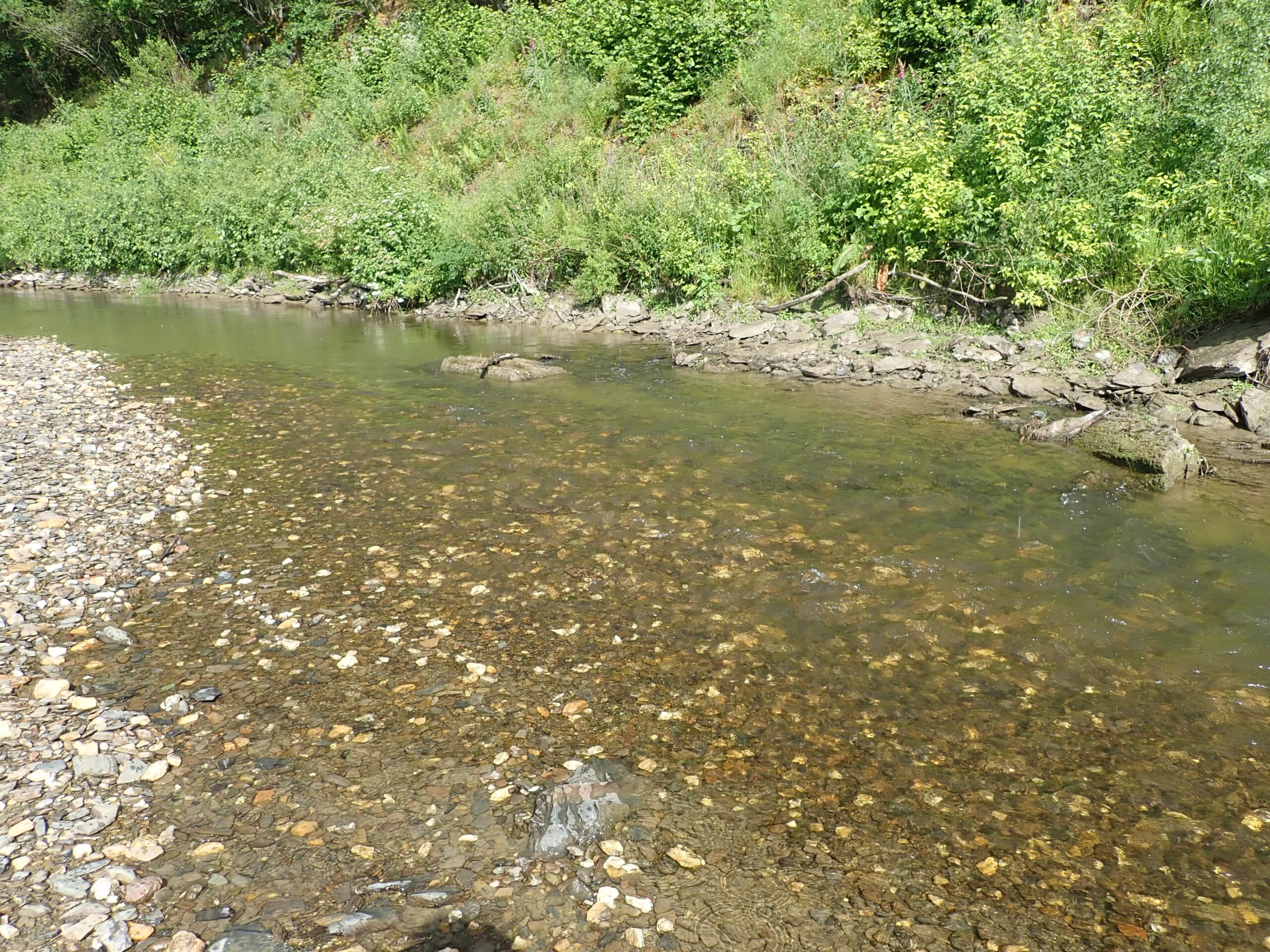
River Sûre (Sauer in German and Luxembourgish) runs through Belgium, Luxembourg and Germany (Figure 1). It springs in the southeast of Belgium in the Ardennes, at an altitude of about 510 m. From there it flows to the east and forms the Belgian-Luxembourgish border for 13 km north of Martelange. On its path it passes through the Lac de la Haute Sure, an artificial lake located in the mountainous north of Luxembourg. It then forms the border between Luxembourg and Germany for the last 50 km of its course, passing Echternach, before running into River Mosselle at ~132 m of altitude.

Figure 1. Path of River Sûre

The “Fish for Mussels” project
The “Fish for Mussels” project, overseen by Nature Park Haute-Sûre Forêt d’Anlier and funded through the European Maritime and Fisheries Fund, was aiming to achieve the “very good” status water quality for River Sûre as dictated by the Water Framework Directive and in parallel to preserve the populations of two threatened bivalve: the freshwater pearl mussel Margaritifera margaritifera and the thick-shelled river mussel Unio crassus. Both mussel species depend on fish communities, and thus the project also aimed to restore the unhindered movement of fishes.

At the initial phase of the project, the existing manmade barriers on the watercourses of the River Sûre basin were mapped. A total of 131 structures were identified (Figure 2). All structures on the main course of River Sûre, as well as structures in its tributaries within 10 km upstream of River Sûre were selected to be analyzed in priority. In total, 23 structures were selected to undergo analysis using the ICE protocol. This analysis is based on comparing the barrier’s characteristics with the biological characteristics of the fish species to evaluate whether the fish movement is affected or not. To cover different hydrological conditions several surveys were conducted on each of the selected barriers. A total of 100 ICE analyses were carried out in the field to evaluate the impact of the barriers under different flow conditions.

Figure 2. Location of manmade barriers in the River Sûre basin analyzed within the framework of the “Fish for Mussels” project. Location of Bodange Weir is indicated by the red rectangle. (photo by Parc naturel Haute-Sûre Forêt d’Anlier)

The Bodange Weir
The ICE analysis conducted during the “Fish for Mussels” project concluded that the Bodange Weir was one of the most problematic barriers that should have been included in the Walloon Region inventory and classified as a “major” obstacle as it had detrimental effect on fish migration under all flowing conditions (Figure 3). At low water flow conditions, it was a total barrier for all fish species, except grayling and brown trout, which however were still impacted to a great extent. At moderate water flow conditions, the weir was a total barrier for small-sized fish species and eels, having high negative impact on rheophilic cyprinids and small brown trout. Fish passage was problematic also for larger or more robust fish species, like large trout, grayling and pike. In flood conditions, only the largest trout, grayling and pike were able to pass over the barrier without any negative impacts.

Figure 3. ICE analysis at Bodange Weir on its impact of fish passage per species (photo by Parc naturel Haute-Sûre Forêt d’Anlier)

The potential benefits of the removal of this barrier would be significant, by opening a long river stretch and making it accessible to fish migration/colonization (the length of classified watercourses (1st, 2nd and 3rd categories) upstream of the weir reaches 154 km). Given that the weir was obsolete and in decay, it was identified as the barrier to be addressed in priority during the next phase of the project.

The Bodange Weir was located (Figures 2 & 4; latitude: 49.851925, longitude: 5.698029) in a sensitive environmental context, i.e. in an area where protected mussel species are present. However, the area is not listed as a Natura 2000 site, despite the presence of several habitats and species of interest. The structure was an ~1-m-high weir (Figure 5), originally constructed of schist slabs. Since its construction, the sill had undergone several repairs that altered its original appearance. A concrete beam was placed at the crest, and a concrete inclined spillway was installed on the right bank. Only the left bank end retained its original appearance. It was initially built to divert water towards a canal and a former slate quarry at Wisembach. The canal is now owned by ASBL Natagora (a nature conservation NGO), while the weir has no legal existence. The atlas of non-navigable watercourses lists it as “existing without right” and “provisionally tolerated” while it is not listed in the inventory of the Walloon Region. The weir had created a very homogeneous, lentic, flat area of ~200 m (Figure 6) upstream.

Figure 4. Location of the Bodange Weir at River Sûre (photo by Parc naturel Haute-Sûre Forêt d’Anlier)
Figure 5. The Bodange Weir at River Sûre under (up) low and (down) high water flow conditions (photos by Parc naturel Haute-Sûre Forêt d’Anlier)
Figure 6. The reservoir upstream the Bodange Weir at River Sûre (photo by Parc naturel Haute-Sûre Forêt d’Anlier)

Dam removal
Technical guidance was provided by the French firm BIEF-Cariçaie Sàrl. They included a diagnostic phase, a preliminary design phase, a project phase where the final project was developed, a works contract assistance phase involving the drafting of technical designs and a works supervision phase involving site management and operations. A project steering committee was also set up, comprising representatives of the various parties involved in the project.

Mussel rescue surveys were conducted before the onset of the removal works (Figure 7). In two days (18-19/09/2019), a 380-m-long river stretch was surveyed and all mussel individuals were spotted. In total, 86 individuals of three species were recovered (U. crassus: 63, Anodonta anatina: 22, Anodonta cygnaea: 1). No pearl mussels were detected during the rescue surveys, even though individuals had been previously (in 2017) discovered upstream of the weir. On the other hand, several juveniles of U. crassus were present in the area. Morphometrical analyses were conducted on all individuals before their transfer to areas upstream of the removal site.

Figure 7. Mussel rescue survey prior to the demolition of the Bodange Weir at River Sûre (photos by Parc naturel Haute-Sûre Forêt d’Anlier)
Figure 8. Demolition works of the Bodange Weir at River Sûre (photo by Parc naturel Haute-Sûre Forêt d’Anlier)
Figure 9. Reprofiling of the banks at the Bodange Weir removal site at River Sûre (photo by Parc naturel Haute-Sûre Forêt d’Anlier)

The weir removal (Figures 8 & 9) occurred in late autumn of 2019 (28/09 – 31/10). The works were interrupted several times due to unfavorable weather and water flow conditions. The works were concluded and approved (Figures 10 – 12) on 09/11/2019.

Figure 10. Removal site after the demolition of the Bodange Weir at River Sûre under low water flow conditions (photo by Parc naturel Haute-Sûre Forêt d’Anlier)
Figure 11. Removal site after the demolition of the Bodange Weir at River Sûre under moderate water flow conditions (photo by Parc naturel Haute-Sûre Forêt d’Anlier)
Figure 12. Removal site after the demolition of the Bodange Weir at River Sûre under high water flow conditions (photo by Parc naturel Haute-Sûre Forêt d’Anlier)

Ecological benefits
The weir demolition has lifted all obstacles to the movement of aquatic fauna in this river stretch which is now accessible under all water flow conditions. The length of waterway that was opened is ~208 km (including 119 km of classified watercourses) upstream till the next major impassable obstacles (Figure 13). Upon the removal, the hydrological processes of the river were quickly reactivated. The previously existed reservoir (Figure 6) upstream the former weir quickly became more diverse. Riffles reappeared, gravel banks were quickly formed, and sedimentation processes were restored (deposition/remobilization of gravel, pebbles and sand; Figures 14 – 15). In addition, living individuals of the thick-shelled mussel (U. crassus) have been discovered on the site following the weir removal (Figures 15 – 16). These mussels were located in the new habitats that have been formed in the former weir reservoir. In conclusion, the complete removal of the barrier enabled the achievement of a more comprehensive ecological continuity of the watercourse.

Figure 13. Location of major manmade barriers in the River Sûre basin upstream the Bodange Weir removal site (photo by Parc naturel Haute-Sûre Forêt d’Anlier)
Figure 14. Reformed riverbed following the removal of the Bodange Weir at River Sûre (photo by Parc naturel Haute-Sûre Forêt d’Anlier)
Figure 15. Newly formed habitats following the removal of the Bodange Weir at River Sûre (photo by Parc naturel Haute-Sûre Forêt d’Anlier)
Figure 16. Mussel at the removal site following the demolition of the Bodange Weir at River Sûre (photo by Parc naturel Haute-Sûre Forêt d’Anlier)

Before & After photo pair

The removal site at River Sûre: (left) before and (right) after the demolition of the Bodange Weir (photos by Parc naturel Haute-Sûre Forêt d’Anlier)

With many thanks to Nicolas Mayon and Parc naturel Haute-Sûre Forêt d’Anlier for providing the information and the visuals presented herein.

Written by Foivos A. Mouchlianitis

  • Name: Bodange Weir
  • Location: River Sûre, Belgium
  • Type: Weir
  • Dimensions: Height: ~1 m; Length: 20 m
  • Aim of removal: Preservation of mussel populations, restoration of fish migration and improvement of water quality
  • Year of removal: 2019