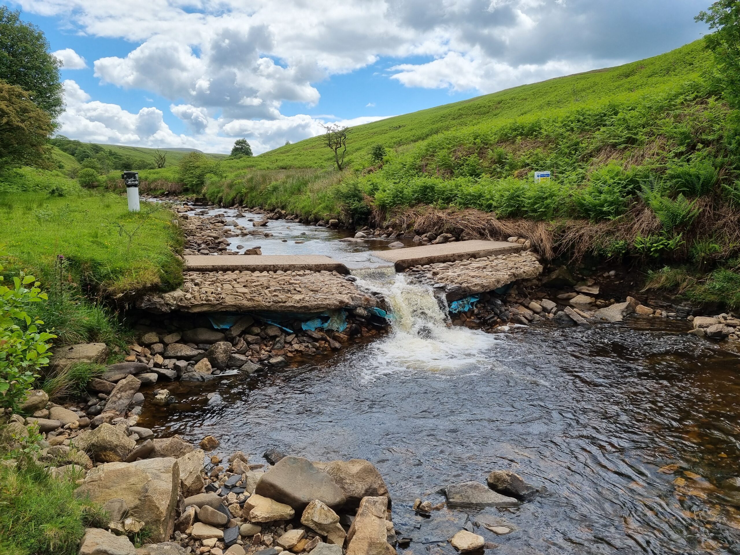
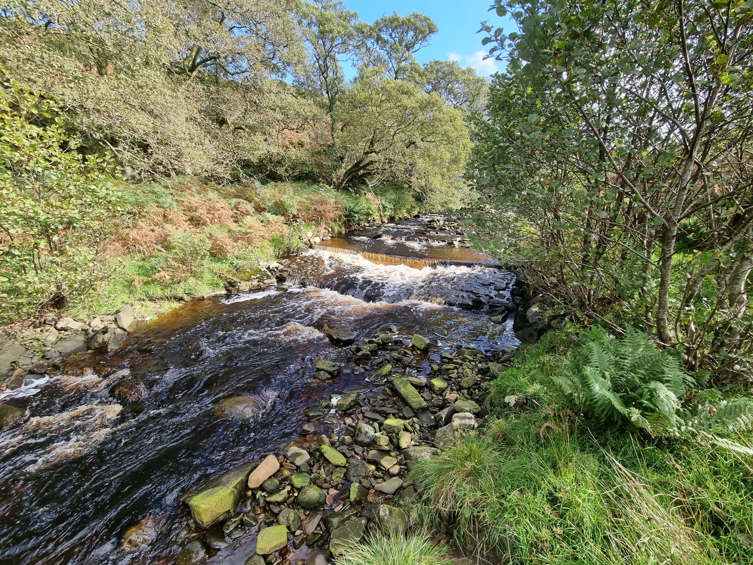
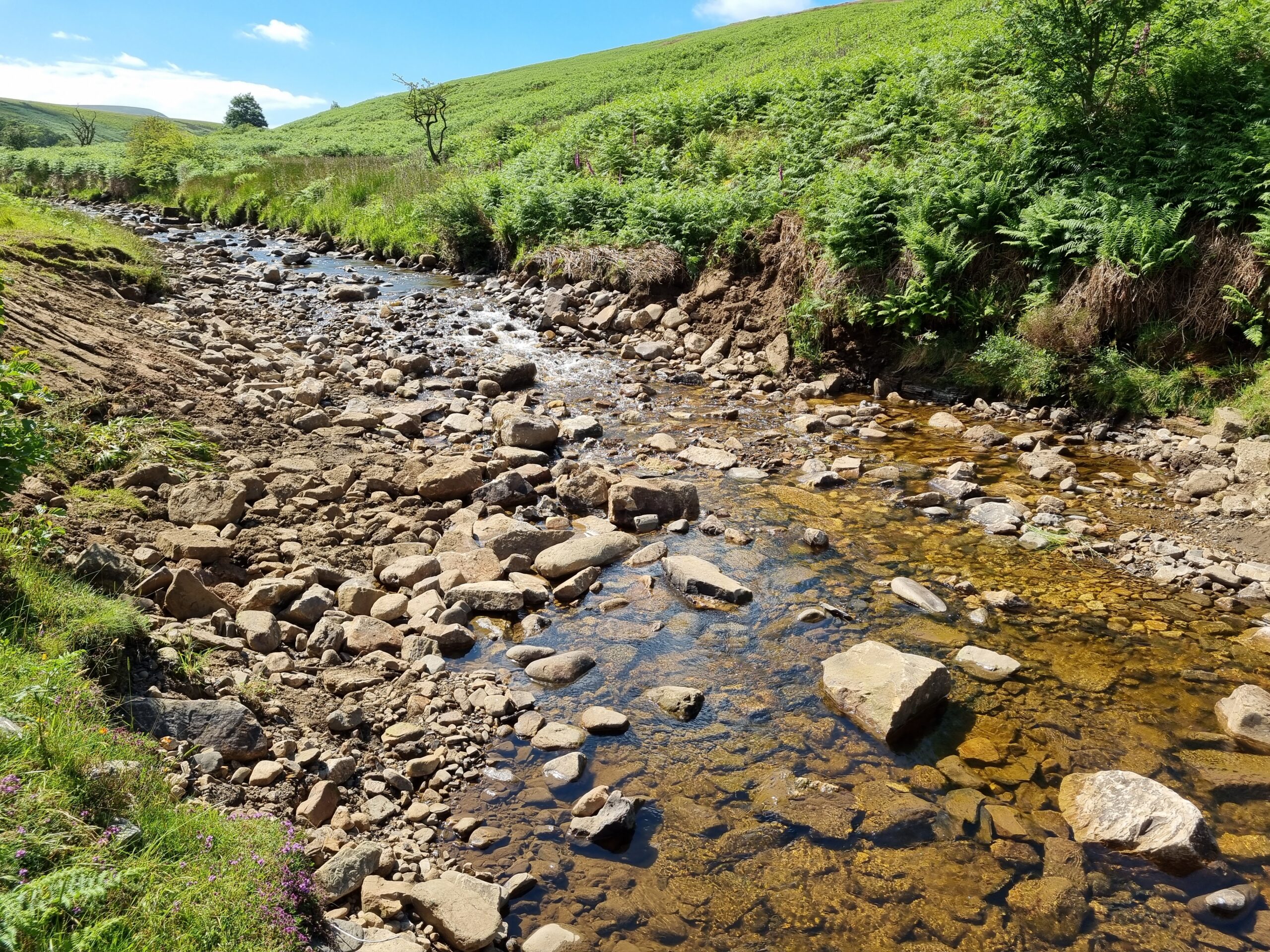
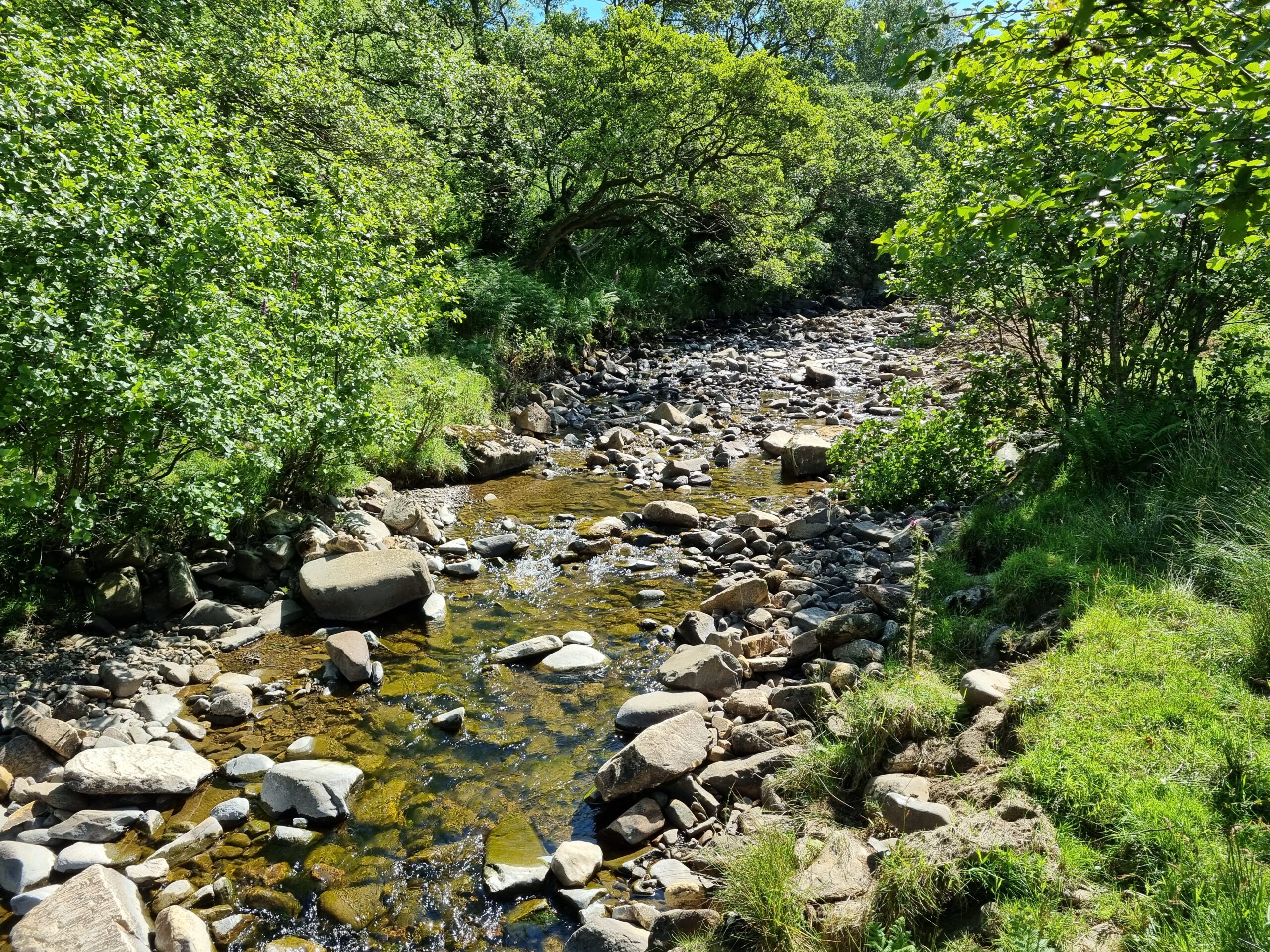
Removal of two redundant flow gauging weirs on the River Gelt


The River Gelt

The River Gelt catchment in a sub-catchment of the River Irthing in the River Eden catchment (Figure 1). This area lies within the Solway Tweed River Basin District. River Gelt springs (as New Water) at Butt Hill, close to Cumbria’s border with Northumberland. It then joins Old Water which sources from Crookburn Pike. The river then flows northwest before running into River Irthing, about 10 miles east of Carlisle. The species of importance at the River Gelt sub-catchment are predominantly the brown trout (and sea trout) and salmon. However, several barriers fragment River Gelt and its tributaries blocking fish migration.

Figure 1. River Gelt sub-catchment

The Old Water Weir & New Water Weir

Two low-head weirs were located on headwater Gelt tributaries, one at New Water and one at Old Water (Figure 1). These concrete weirs were built in 1998 for flow gauging (Figure 2) as part of a flow monitoring scheme that also involved fish passage improvements to a larger water industry abstraction weir downstream. Although considered an appropriate design at the time, with far greater understanding of the requirements for free fish passage and the implications of obstructions in rivers, the design of the weirs would not be considered fish-friendly now. In addition, as the channels adjusted to the impacts of the weirs, their passability also changed, with New Water Weir in particular becoming a major barrier as the channel downstream incised, leaving it perched above bed. This factor was almost certainly exacerbated by gravel removal from the channel at the abstraction point downstream. The two weirs were obsolete and of no heritage importance or other value once they ceased to perform their original flow monitoring purpose. 

Electrofishing surveys conducted by Environment Agency and Eden Rivers Trust confirmed that both weirs were unpassable for the species of interest. Brown trout were recorded only upstream of the weirs in most years. On a very limited number of occasions juvenile salmon had also been captured upstream of one of the weirs. The obstruction to fish is likely to have been a combination of the flow gauging weirs and the further water abstraction weirs downstream.

Figure 2. (up) New Water Weir and (down) Old Water Weir © Wild Trout Trust

In England, the Salmon and Freshwater Fisheries Act 1975 places a requirement upon the owner of a structure to provide fish passage for migratory salmonids, but not resident trout, coarse fish or other species. Updates to this outdated legislation have been promised for decades now, but are yet to materialise. There is a growing general presumption in England among river restoration and habitat management practitioners that redundant weirs should be removed. However, other than the Water Framework Directive, and reducing flood risk (in some areas), there is little else to push barrier removal forward, from a legislative perspective.  

Dam removal

The project to remove the two weirs at New and Old Water was initiated by the Environment Agency as part of their Water Resources Decommissioning of Unused Assets Programme, with further input through their Cumbria River Restoration Strategy programme, which has a long history of river restoration work around Cumbria, having won the UK and then European River Prize in recent years. The Ullswater Community Interest Company initially commissioned the feasibility and design report (produced by Dynamic Rivers) and then the Wild Trout Trust provided significant input through the later stages of optioneering and design, managing the capital delivery phase through to completion. This demonstrated an alternative method of delivery locally that was slightly different from the more common use of internal framework contractors or collaborative partnership agreements with local rivers trusts.

The initial feasibility work by the Environment Agency started early in 2023, with Wild Trout Trust being involved from September that year and the removals undertaken in June 2024 (Video 1-2; Figure 3), once the English ‘in river’ working window (June – September) had begun.

Video 1. Removal works of New Water Weir in June 2024 © Wild Trout Trust
Video 2. Removal works of Old Water Weir in June 2024 © Wild Trout Trust
Figure 3. The removal site after the demolition of (up) New Water Weir and (down) Old Water Weir © Wild Trout Trust

The total cost of the removal phase for both weirs including contractors and management was £36,133, with initial liaison, design and feasibility work undertaken prior to the removal, totaling an additional £28,000. The entire project was funded by the Environment Agency Water Resources Decommissioning of Unused Assets Programme.

“This project was a great opportunity to remove two redundant weirs that were degrading habitat quality and reducing connectivity in the headwaters of the River Gelt system. While this work has not yet not addressed all of the man-made barriers in this sub-catchment, it greatly improves habitat accessibility locally and helps maximise the benefits that can be achieved by when the remaining barriers are addressed. The Wild Trout Trust strongly supports the removal of man-made obstructions from watercourses, so we were very pleased to be invited to deliver with this work on behalf of the Environment Agency”

Gareth PedleyConservation Officer/Project Manager at Wild Trout Trust

Being in a very remote location, there was very little involvement with anyone outside of the project team. The landowners were one of the parties requiring the work to be undertaken, so that posed no issues, and the tenant farmer of the land was fully supportive. One local angling club controlled the fishing rights in the area and they were very happy to see the work undertaken to improve the fish spawning and recruitment prospects on their catchment. 

This is an excellent example where resistance and misguided concerns from the local community were largely avoided owing to the isolated location, allowing this important conservation work to progress unimpeded. Nonetheless, those views were later encountered following publicity of the work via social media, with several comments from people suggesting that the work had degraded habitat. Fortunately, they were in the minority, but it demonstrates the potential complications this vital work can and does encounter from poorly informed public opinion.

Challenges

Owing to the remote location of the weirs, many of the usual constraints and issues encountered when removing weirs were absent or easily avoided. There were few utilities/services locally and no other users to ensure the safety of – just the contractors, project manager, a few visitors from the water company who manage the assets downstream – all of which briefed prior to the work commencement and were fully supportive. There were concerns about a potential requirement to close the water intakes downstream, but as the work was undertaken during low flow the abstraction was so minimal that it was decided to leave the intakes open. 

The work was planned for a duration of two weeks, with Old Water Weir removed in less than the first week. The start of the New Water removal suffered a slight delay owing to elevated flow at the beginning of the second week, but this only ended up delaying the finish date by one day. As the contractors were able to undertake other unrelated work at the site to utilise their time during the delay, this did not affect the project budget. Using local contractor who were able to undertake other work locally during any downtime helped with this.

Ecological and community benefits

Whether or not the fish passage issues downstream of the removed weirs can be addressed in the short-term, this work has greatly improved the ability of fish to ascend the river, upstream of the water abstraction weirs, and access vital spawning and nursey areas. Previously, fish dropping downstream would become trapped between the abstraction weir and the gauging weirs, particularly on the New Water. Electrofishing surveys are likely to be conducted in the future following the weir removals to assess their impact of fish migration.

Removing the weirs has allowed the section of channels in which they were located to naturalise (Video 3-4), with further habitat improvements likely to develop over future high flow events, through the reinstatement of natural riverine processes and sediment transport.

Video 3. Timelapse video of the removal site after the demolition of New Water Weir and under different flow conditions © Wild Trout Trust
Video 4. Timelapse video of the removal site after the demolition of Old Water Weir and under different flow conditions © Wild Trout Trust

Before & After photo pair

The removal site at New Water (left) before and (right) after the demolition of the weir © Wild Trout Trust
The removal site at Old Water (left) before and (right) after the demolition of the weir © Wild Trout Trust

With many thanks to Gareth Pedley and Wild Trout Trust for providing the information and the visuals presented herein.

Prepared by Foivos A. Mouchlianitis

  • Name: Old Water Weir & New Water Weir
  • Location: River Gelt, Cumbria, England 
    • Old Water Weir: 54.871863, -2.6634191
    • New Water Weir: 54.87188542, -2.6634191
  • Type: Compound concrete weirs
  • Dimensions:
    • Old water weir: ~1 m high x 8 m long
    • New Water Weir: ~0.700 m high x 8 m long
  • Aim of removal: To remove redundant Environment Agency flow gauging assets and to restore fish passage and natural river processes
  • Year of removal: 2024